 Solothurn: Hafen
Solothurn has served as a regional centre on the Swiss Plateau since Roman times. The Roman settlement of Salodurum stood on the Aare, a river that still gives the city its waterfront character. From 1530 to 1792, Solothurn was the residence of France’s ambassadors to the Swiss Confederacy, helping shape its formal Baroque character. As cantonal capital, it is known for a compact old town centred on St Ursus Cathedral, completed in 1773. The city’s association with the number eleven appears in churches, fountains and local customs. Riverside quays and small-boat moorings extend beyond the historic core, while the Weissenstein ridge of the Jura rises to the south.
Generated by AI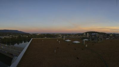


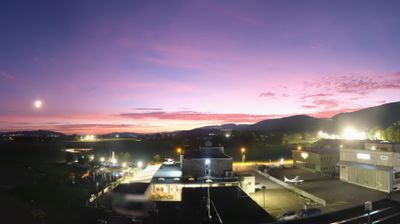

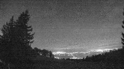
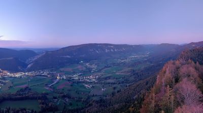


Solothurn combines a compact Baroque old town with the measured course of the Aare in a way that reflects its position between the Swiss Plateau and the Jura foothills. Once the Roman settlement of Salodurum, it remained Catholic during the Reformation and later became a showcase for 17th- and 18th-century architecture. St Ursus Cathedral, reached by its monumental stairway, dominates the centre, while clock towers, fountains and arcaded streets give the historic core a formal yet lived-in character. The city is also known for its longstanding fascination with the number eleven, a motif woven into local landmarks and traditions. Continue through nearby webcams to explore different parts of Solothurn and the Jura foothills.
2 webcams
Solothurn occupies a stretch of the Swiss Plateau and the southern Jura slopes in northwestern Switzerland. The canton ranges from wooded Jura ridges, including the Weissenstein above its capital, to productive lowlands along the Aare River. Solothurn city developed at an important Aare crossing and retains a remarkably coherent baroque centre. The 18th-century Cathedral of St Ursus is its defining monument. Small towns, farmland and industrial communities elsewhere reflect the region’s position between Basel, Bern and Zurich. Rail connections place Solothurn firmly within everyday Swiss travel, while Jura paths lead quickly into higher, forested terrain. Browse other webcams across Solothurn to place this setting in a wider geographic context.
17 webcams
Switzerland stretches from the Jura Mountains in the northwest to the Alps in the south, encompassing a central plateau of cities, farms and lakes. The Rhine rises in the Swiss Alps, while Lake Geneva forms part of the country’s southwestern border. Zürich, Geneva and Basel are major urban centres, yet mountain railways and passes remain central to how many regions are experienced. Four national languages—German, French, Italian and Romansh—reflect Switzerland’s distinct cantonal identities. The Matterhorn above Zermatt is among Europe’s most recognisable peaks, and the 1291 Federal Charter is closely associated with the country’s founding tradition. Continue through nearby webcams to explore different parts of Switzerland.
1.5K webcams