 Sola: Sømmevågen
Sola sits on the North Sea coast in Rogaland, Norway, where low agricultural ground meets a shoreline shaped by wind and Atlantic surf. The municipality lies immediately west of Stavanger and is closely associated with Stavanger Airport, Sola, one of western Norway’s principal air connections. Long, sandy Sola Beach is a defining stretch of coast, while the R509 links the airport area with Tananger, a nearby harbour community. Sola combines working fields, major road and aviation infrastructure, and an exposed coastline; it is less urban than central Stavanger but firmly part of the wider Stavanger area. The locality also has a wartime legacy, as German forces expanded Sola airfield after occupying Norway in 1940.
Generated by AI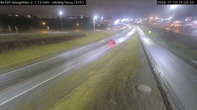
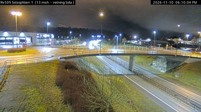
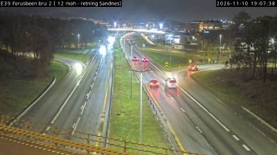

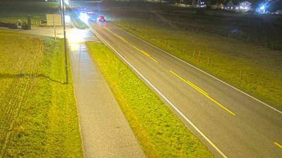
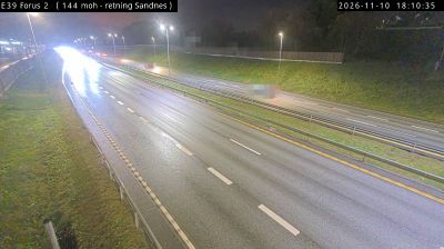
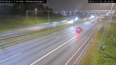


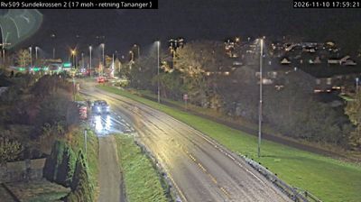

Sola stands on the North Sea coast in Rogaland, Norway, where the low, open terrain of Jæren meets long sandy beaches and weather rolling in from the sea. The municipality lies immediately west of Stavanger and includes Stavanger Airport, Sola, an important air link for southwestern Norway. Sola Ruinkirke, the remains of a medieval stone church near Sola Beach, provides a tangible connection to the area’s older settlement history. Broad sand, wind and surf give the shoreline an unusually spacious character, and Sola Beach is popular for walks and water sports. Browse other webcams across Rogaland to place Sola’s North Sea setting in a wider geographic context.
1 webcam
Built around North Sea ports and the fertile farmland of Jæren, Rogaland grew into one of Norway’s leading maritime and energy regions. Stavanger, its largest city, is closely associated with the country’s offshore petroleum industry and preserves the 12th-century Stavanger Cathedral at its centre. The coast shifts from the long, open beaches of Jæren to islands and sheltered sounds, while Lysefjord cuts deep into the mountains farther east. Preikestolen, the celebrated rock plateau above the fjord, is among the area’s best-known landmarks. Continue with other webcams from the area to see how this part of southwestern Norway connects regionally.
89 webcams
Norway has served as a seafaring link between the North Atlantic and northern Europe since the Viking Age. Its long coastline is cut by fjords, while the Lofoten archipelago rises sharply from the Norwegian Sea and the mountains of Jotunheimen include Galdhøpiggen, Norway’s highest peak. Bergen’s Bryggen, the former Hanseatic wharf, recalls centuries of maritime trade. Farther north, Sámi culture remains an essential part of the country’s identity. Explore nearby webcam locations that provide complementary perspectives on Norway’s coast, fjords and mountain regions.
1.5K webcams