 Sokolowka
Built around local roads and farm plots, Sokołówka developed into a small rural settlement in Poland’s Lublin Voivodeship. It belongs to the low-density countryside of southeastern Poland, where detached homes, cultivated land and village streets set the rhythm of daily life. There is no monumental urban core here; its character lies in the close relationship between homes, roadside properties and the surrounding working landscape. Lublin Voivodeship has long stood near the meeting point of Polish, Ukrainian and Jewish cultural traditions, an influence reflected across the wider region’s towns and villages. Sokołówka represents the inhabited agricultural countryside that occupies much of eastern Poland.
Generated by AI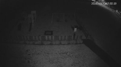
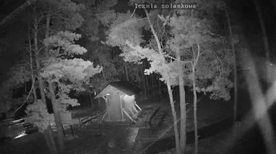
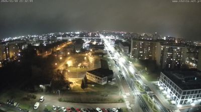


Sokołówka straddles a rural transition between cultivated fields and woodland in Lublin Voivodeship, a setting that gives this small southeastern Polish settlement its open, low-density character. Local roads link farms and scattered homes across gently varied country, while tree belts and forest margins break up the agricultural land. Sokołówka reflects the dispersed settlement pattern found beyond the region’s larger towns, with the seasonal rhythm of cultivation remaining central to the surrounding landscape. Browse other webcams across Lublin Voivodeship to place this rural setting in a wider geographic context.
2 webcams
Lublin Voivodeship occupies a varied belt of lowlands and uplands in eastern Poland. Its landscapes range from the wetlands and lakes of Polesie to the wooded hills of Roztocze, while the Bug River forms part of the eastern border with Belarus and Ukraine. Lublin, the regional capital, is known for its preserved Old Town and the Lublin Castle complex. Farther south, Zamość has a Renaissance historic centre inscribed on the UNESCO World Heritage List. The region’s eastern setting has long shaped its architecture, food traditions, and multicultural heritage. Browse additional webcams from the surrounding area to extend your view of Lublin Voivodeship.
25 webcams
Poland stretches from the Baltic Sea coast in the north to the Carpathian Mountains along its southern frontier, encompassing broad lowlands, lake districts and upland ranges. The Vistula, the country’s longest river, links Kraków and Warsaw before reaching the Baltic near Gdańsk, while the Masurian Lake District is defined by a dense network of lakes. Kraków’s historic centre, including Wawel Castle, recalls Poland’s former royal capital; Warsaw’s rebuilt Old Town speaks to the city’s recovery after the Second World War. The Białowieża Forest preserves one of Europe’s last primeval lowland forests and is home to European bison. Follow how Poland’s regions relate to one another by browsing webcams across the country.
716 webcams