 Shah Alam
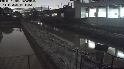
The Sungai Damansara defines the setting of Shah Alam’s northern urban fringe — its channel and vegetated banks pass beside bridges, multilane roads and commercial development. Shah Alam is Selangor’s state capital, developed as a planned administrative centre in the 1960s and designated capital in 1978. Its best-known landmark is the Sultan Salahuddin Abdul Aziz Shah Mosque, completed in 1988 and recognised by its blue dome. This river corridor belongs to the wider Klang Valley, Malaysia’s principal metropolitan region, where waterways, highways and fast-growing urban districts share a tightly developed plain. The meeting of riverbank vegetation and transport infrastructure reflects the everyday fabric of metropolitan Selangor.
Generated by AI
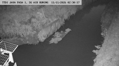


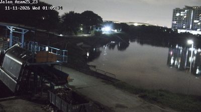
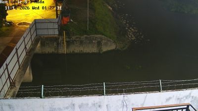
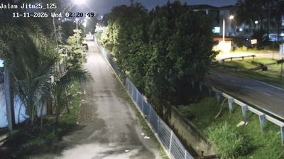


Shah Alam stretches across the Klang Valley in Selangor, its role as the state capital shaping a city planned around government, education and residential districts. The Sultan Salahuddin Abdul Aziz Shah Mosque, recognised by its vast blue-and-silver dome and four minarets, is the city’s defining civic landmark. Taman Tasik Shah Alam adds a major public green space, while galleries and university campuses reinforce the city’s contemporary character. Shah Alam is also closely connected to the wider valley’s automotive and manufacturing economy. Explore nearby webcam locations that provide complementary perspectives on Shah Alam and Selangor.
11 webcams
Among the states of Malaysia, Selangor stands out for its position between the Strait of Malacca and the metropolitan area around Kuala Lumpur. This populous west-coast state combines mangrove-lined shores and the Klang River basin with expanding cities, plantation land and forested foothills of the Titiwangsa Range. Shah Alam, the state capital, is marked by the Sultan Salahuddin Abdul Aziz Shah Mosque, while Klang remains associated with Selangor’s royal heritage and Port Klang. Inland, Batu Caves is a major Hindu pilgrimage site, especially during Thaipusam. Browse nearby webcams to build a fuller picture of Selangor’s coast and urban hinterland.
72 webcams
The South China Sea defines much of Malaysia — it separates Peninsular Malaysia from the states of Sabah and Sarawak on Borneo, while sustaining ports, fisheries and island connections. Malay, Chinese, Indian and Indigenous traditions shape the country’s languages, food and religious life. Kuala Lumpur’s Petronas Twin Towers are a national landmark, while Melaka recalls centuries of trade across the Strait of Malacca. Rainforest reserves and Mount Kinabalu in Sabah contrast with the dense urban energy of the west coast, and Penang is widely known for its street-food culture. Continue through nearby webcams to explore different parts of Malaysia.
106 webcams