 Sha Tin
The landscape around Sha Tin is a densely developed river valley hemmed by the hills of Hong Kong’s New Territories, which has shaped both the built environment and local life. The Shing Mun River runs through the district before reaching Tolo Harbour, while residential towers, hospitals, schools and transport links occupy the valley floor. Sha Tin grew from a cluster of rural settlements into one of Hong Kong’s major new towns during the late 20th century. Sha Tin Racecourse, opened in 1978, is a focal point for Hong Kong horse racing. The district also includes the Ten Thousand Buddhas Monastery, founded in the 1950s on a hillside above the urban centre, where a path is lined with Buddhist statues.
Generated by AI


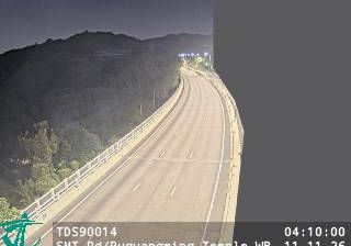


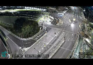

The Shing Mun River defines the setting of Sha Tin — its engineered channel runs through this New Territories new town, while riverside promenades and cycling routes make the water part of everyday movement. Built largely from the 1970s onward, Sha Tin is one of Hong Kong’s major planned urban districts, with the slopes of Lion Rock Country Park close by. Sha Tin Racecourse, opened in 1978, is a major venue in Hong Kong’s thoroughbred racing calendar. The Hong Kong Heritage Museum on the riverbank presents collections on local history, art and Cantonese opera. Continue with other webcams from the area to see how this part of Hong Kong connects regionally.
15 webcams
Among the regions of China, Hong Kong stands out for its dense harbourfront skyline set between steep green hills and the South China Sea. Victoria Harbour separates Hong Kong Island from Kowloon and remains the city’s defining waterway, busy with ferries, working vessels and the Star Ferry route. Beyond the commercial core, country parks cover large areas of the territory, while Lantau Island is home to the Tian Tan Buddha and the Po Lin Monastery. A former British colony until 1997, Hong Kong retains a distinctive mix of Cantonese traditions and international urban life. Continue through nearby webcams to explore different parts of Hong Kong.
172 webcams
Built around the Yellow River and Yangtze basins, China grew into a vast modern state with landscapes that run from the Tibetan Plateau and the Himalayas to the Gobi Desert and the shores of the South China Sea. The Yangtze, Asia’s longest river, crosses the country west to east, linking mountain regions with major cities and fertile plains. Beijing’s Forbidden City, the former imperial palace of the Ming and Qing dynasties, remains a defining monument of its long imperial era. The Great Wall follows northern terrain in many separate sections, while regional cuisines, tea traditions and festivals reveal striking local variety. Explore other places across China’s regions to put this setting in a broader geographic context.
186 webcams