Historical images are not available for this webcam
 Seven Corners: I-66 - MM 70.3 - WB
Dominion Hills combines residential calm with the intensity of Interstate 66 in a way that reflects its position in inner Arlington County. The neighborhood occupies a built-up stretch of northern Virginia between central Arlington and Fairfax County, within the wider Potomac River basin and close to the District of Columbia. I-66 is one of the region’s principal east–west corridors, carrying local and long-distance traffic between Washington and the Shenandoah Valley. Low-rise homes and mature street trees typify the surrounding Arlington fabric, while major roads underline how closely daily life is tied to the capital’s transport network. Arlington County also contains Arlington National Cemetery, established during the Civil War on the former Arlington estate, a defining national landmark across the Potomac from Washington.
Generated by AI

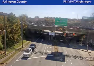

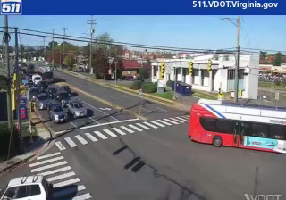


Few communities in Northern Virginia have a history as closely tied to road travel as Seven Corners. Its name recalls the historic meeting of seven routes, and the area remains a busy Fairfax County crossroads where Arlington Boulevard and Leesburg Pike carry traffic between Washington’s suburbs. Near the headwaters of Four Mile Run, the community occupies rolling terrain that drains northeast toward the Potomac River. Eden Center shapes its cultural identity: this Vietnamese-American retail complex is known for restaurants, bakeries, markets and community events, giving a distinct character to an intensely urbanized junction. Explore nearby webcam locations that provide complementary perspectives on Seven Corners and Northern Virginia.
4 webcams
Among the regions of the United States, Virginia stands out for its sweep from the Blue Ridge Mountains to the Chesapeake Bay. Its varied terrain includes the Shenandoah Valley, the Piedmont of the central counties, and a long Atlantic-facing coast. Richmond, on the James River, is Virginia’s capital and a major centre of American Civil War history; farther east, Jamestown was the site of England’s first permanent settlement in North America, founded in 1607. Shenandoah National Park and its Skyline Drive trace the crest of the Blue Ridge. Move on to other webcams in the region to compare landscapes and settings around Virginia.
1.5K webcams
The Atlantic, Pacific and Gulf coasts define much of the United States — their ports, fisheries and trade routes have long tied the country’s economy to the wider world. Between them, the Rocky Mountains, Great Plains and Mississippi River basin form sharply different regions, from high western ranges to broad agricultural heartlands. Cities carry much of the national story: New York’s Statue of Liberty, a gift from France dedicated in 1886, remains an enduring symbol, while Washington, DC concentrates major federal institutions. Indigenous nations have shaped these lands for millennia, and their living cultures remain essential to the country’s identity. Find related webcams in the surrounding areas to build a fuller picture of the United States.
32K webcams