 Schongleina: Flugplatz Jena-Schöngleina
Flugplatz Jena-Schöngleina has served as a regional airfield in eastern Thuringia since the 20th century. It stands on the open Wöllmisse plateau, above the Saale valley and east of Jena, amid farmland edged by woodland. Grass flying areas, taxiways and an apron support general aviation, giving the site a compact, functional character rather than that of a commercial airport. Nearby Jena, on the Saale, is known for its university, founded in 1558, and for the optical industry developed by Carl Zeiss. The airfield thus occupies a rural setting close to one of Germany’s established centres of science and technology.
Generated by AI

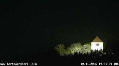
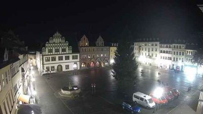
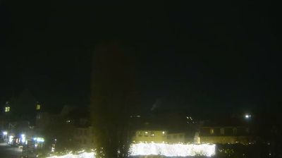


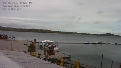
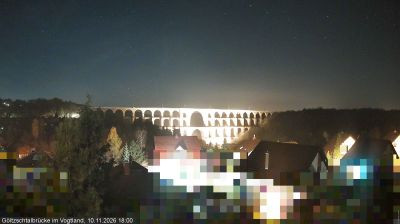

Schöngleina straddles the rolling uplands east of the Saale valley in Thuringia, a position that has kept it closely connected to the rural Saale-Holzland district while placing the university city of Jena nearby. Fields and woodland shape the settlement’s surroundings, typical of this part of eastern Thuringia. Jena-Schöngleina Airfield is a defining local feature, serving general and recreational aviation and giving this small municipality an unexpected connection to the skies. Discover other points of interest through webcams located across Thuringia.
1 webcam
Thuringia has served as a cultural crossroads within central Germany since the Middle Ages. Its varied terrain runs from the wooded ridges of the Thuringian Forest to the Saale valley in the east, with the long-distance Rennsteig trail following the forest’s crest. Erfurt, the state capital, preserves a historic centre marked by the cathedral and the Krämerbrücke, a bridge lined with inhabited buildings. Weimar is closely associated with Goethe and Schiller and with the Bauhaus movement, while Wartburg Castle near Eisenach recalls the region’s medieval past. Browse additional webcams from the surrounding area to extend your view of Thuringia.
64 webcams
Germany stretches from the North Sea and Baltic Sea coasts to the Alps on its southern border, encompassing northern plains, river valleys and forested uplands. The Rhine, Danube and Elbe have long connected its regions, while the Black Forest and Bavarian Alps give the south a more dramatic relief. Berlin’s Brandenburg Gate and Museum Island reflect the capital’s role in German history and culture. Cologne Cathedral, a UNESCO World Heritage Site, rises above the Rhine, and the Bauhaus movement, founded in Weimar in 1919, transformed modern design far beyond Germany. Regional cooking, Christmas markets and brewing traditions bring further character to daily life. Browse additional webcams from the surrounding area to extend your view of Germany.
2.1K webcams