 Savognin: Piz Martegnas

The Albula Alps define the setting of Savognin — a settlement in the Surses valley where steep mountain slopes rise above the Julia river. Piz Martegnas, at 2,670 metres, is the high point of Savognin’s ski area and forms part of broad alpine terrain used for winter sports and summer walking. Savognin lies in the Romansh-speaking Surses district of Grisons, a cultural identity reflected in local place names and the regional language. The village occupies the historic Oberhalbstein valley, a route connecting central Graubünden with the Julier Pass. Its compact built-up core and mountain lifts place everyday village life alongside a distinctly high-alpine setting.
Generated by AI
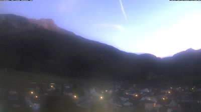
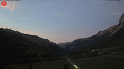
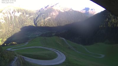


Savognin has served as a settlement on the Julier Pass route in Grisons since the Middle Ages. It lies in the broad Surses valley beside the Julia River, on a historic Alpine corridor connecting central Graubünden with the Engadin. Romansh remains an important part of local identity here, alongside German, and the village is known by its Romansh name, Savognin. Painter Giovanni Segantini lived and worked in Savognin between 1886 and 1894, drawing inspiration from the high-mountain surroundings. Today, hiking routes, ski slopes and the nearby Julier Pass keep the valley closely tied to its Alpine setting. Continue through nearby webcams to explore different parts of Savognin and Grisons.
10 webcams
The terrain of Grisons ranges from high Alpine valleys in the south to the broad Rhine valley in the north, shaping Switzerland’s largest and most linguistically diverse canton. The Inn flows through the Engadin, while the Rhine has long connected Chur, the cantonal capital, with the rest of central Europe. Romansh remains a defining regional language alongside German and Italian. The Rhaetian Railway’s Albula and Bernina lines, recognised by UNESCO, cross dramatic mountain country with remarkable engineering. Browse further webcams from the area to trace how this corner of eastern Switzerland links with neighbouring Alpine regions.
244 webcams
Switzerland stretches from the Jura Mountains in the northwest to the Alps in the south, encompassing a central plateau of cities, farms and lakes. The Rhine rises in the Swiss Alps, while Lake Geneva forms part of the country’s southwestern border. Zürich, Geneva and Basel are major urban centres, yet mountain railways and passes remain central to how many regions are experienced. Four national languages—German, French, Italian and Romansh—reflect Switzerland’s distinct cantonal identities. The Matterhorn above Zermatt is among Europe’s most recognisable peaks, and the 1291 Federal Charter is closely associated with the country’s founding tradition. Continue through nearby webcams to explore different parts of Switzerland.
1.4K webcams