 Sanzao
 lies along the coast of Guangdong’s Pearl River Delta, where a low, urbanised shoreline meets the South China Sea. It forms part of the wider Zhuhai area, a city facing Hong Kong and Macao across the Pearl River estuary. Commercial and residential districts reflect the delta’s role as one of southern China’s most interconnected urban regions, shaped by maritime trade and cross-border links. Zhuhai was designated one of China’s first special economic zones in 1980, a status that accelerated its change from a small coastal municipality into a modern city. Sanzao presents a local side of this coastal metropolis beyond the central waterfront.
Generated by AI


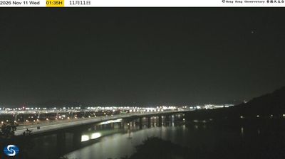

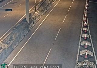

Tucked along the southern coast of Sanzao Island, Sanzao is a place whose character is shaped by its position on the Pearl River Estuary and the South China Sea. It forms part of Zhuhai’s Jinwan District, where low coastal terrain, waterways and reclaimed land reflect the rapid development of the wider Pearl River Delta. Zhuhai Jinwan Airport lies on the island, linking this formerly more rural corner of the municipality with major Chinese cities. Sanzao belongs to Zhuhai, one of China’s first Special Economic Zones, established in 1980. Browse other webcams across Guangdong to compare coastal island settings around Sanzao.
1 webcam
Guangdong Province combines fast-moving urban energy with enduring Cantonese traditions in a way that reflects its position between the Pearl River Delta and the South China Sea. Guangzhou, the provincial capital, stands on the Pearl River and has long been a major trading city in southern China. Across the delta, Shenzhen and Dongguan form part of a densely developed manufacturing and technology corridor, while the provincial coast extends from the Leizhou Peninsula towards waters near Hong Kong and Macau. Cantonese remains central to local identity, alongside Mandarin, and the region’s cuisine is known worldwide. Lingnan architecture, temples and historic districts bring another dimension to the modern skyline. Continue with other webcams from the area to see how this part of Guangdong connects across the Pearl River Delta.
1 webcam
Built around the Yellow River and Yangtze basins, China grew into a vast modern state with landscapes that run from the Tibetan Plateau and the Himalayas to the Gobi Desert and the shores of the South China Sea. The Yangtze, Asia’s longest river, crosses the country west to east, linking mountain regions with major cities and fertile plains. Beijing’s Forbidden City, the former imperial palace of the Ming and Qing dynasties, remains a defining monument of its long imperial era. The Great Wall follows northern terrain in many separate sections, while regional cuisines, tea traditions and festivals reveal striking local variety. Explore other places across China’s regions to put this setting in a broader geographic context.
191 webcams