 Santibanez de la Pena: Barrio de la Estacion: Santibáñez de la Peña - Castille and León, Spain
Santibáñez de la Peña straddles the transition from the Castilian plateau to the Cantabrian Mountains in northern Palencia, a position that has long linked scattered upland settlements with the coalfield country of Castile and León. The municipality consists of numerous hamlets rather than one continuous town, spread across gently rolling terrain. Coal extraction shaped this part of the Montaña Palentina for generations, and that industrial legacy remains part of the area’s identity. Pasture, woodland and small-scale farming now define much of the surrounding countryside. Santibáñez de la Peña stands near the southern edge of Montaña Palentina Natural Park, a protected mountain area in the province of Palencia.
Generated by AI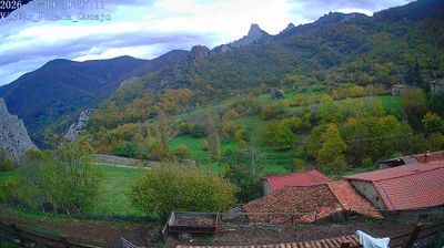
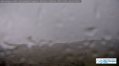
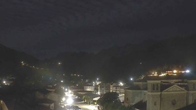
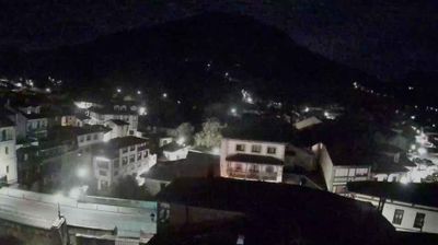
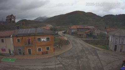

Santibáñez de la Peña has served as a coal-mining centre in the Montaña Palentina since the 19th century. Set on the southern flank of the Cantabrian Mountains in northern Palencia, it belongs to a municipality of small settlements spread between upland fields and forested slopes. Mining once shaped local employment, transport and the identity of this part of Castile and León; its legacy remains central to the area’s recent history. Today, the surrounding mountain country provides a quieter setting for exploring rural villages, local Romanesque heritage and the wider landscapes of the Palentine Mountains. Continue through nearby webcams to explore different parts of the Montaña Palentina.
1 webcam
The Duero River and the high Castilian plateau define much of Castile and León – their wide plains have long supported cereal farming, vineyards and historic market towns. Spain’s largest autonomous community extends from the Cantabrian Mountains toward Portugal, with nine provinces linked by long roads, rail lines and regional capitals. Salamanca’s university, founded in 1218, ranks among Europe’s oldest, while Burgos Cathedral and Segovia’s Roman aqueduct point to the area’s medieval and Roman past. The Camino de Santiago also crosses its northern provinces, bringing a continuing pilgrimage tradition to towns along the route. Browse other webcams across Castile and León to place this setting in a wider geographic context.
45 webcams
Spain extends from the Cantabrian coast to the Canary Islands, encompassing Atlantic shores, Mediterranean beaches and the broad interior Meseta. The Pyrenees form its northeastern frontier, while the Guadalquivir crosses Andalusia on its way to the Atlantic. Madrid anchors the country’s political and cultural life, but distinct regional identities are central to Spain’s character: Catalonia, the Basque Country, Galicia and Andalusia each have their own languages or strong local traditions. Granada’s Alhambra is a major monument of the medieval Nasrid dynasty, and Santiago de Compostela remains the destination of the Camino de Santiago. Browse related webcams around the Iberian Peninsula to build a fuller picture of Spain.
1.3K webcams