 Saltstraumen
The landscape around Saltstraumen is a low, island-dotted coast of rocky hills and tidal channels, which has shaped both the built environment and local life. Saltstraumen is the narrow strait joining Saltfjorden with Skjerstadfjorden near Bodø. Its powerful tidal flow is widely described as the world’s strongest, with water rushing through the channel as the tide turns. Saltstraumen Bridge, opened in 1978, carries Fv17 across the strait; this coastal road follows Norway’s shoreline between Steinkjer and Bodø. Fishing has long been part of the area’s identity, while the surrounding coast opens towards the mountains and islands of Nordland.
Generated by AI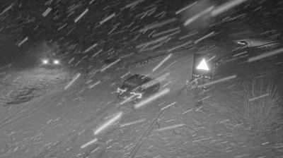
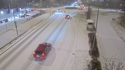
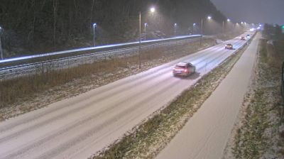
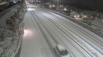
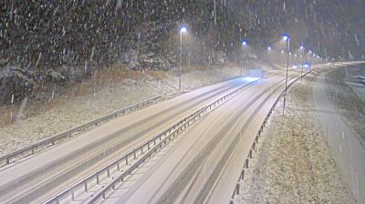

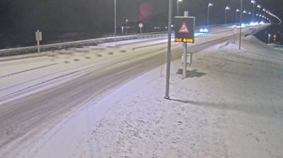
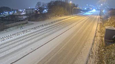
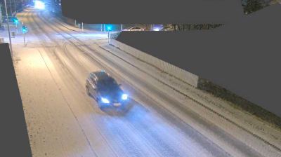

Nordland’s terrain shifts from an island-studded Atlantic coast in the west to mountains and inland plateaus near Sweden in the east, creating a long county of fjords, waterways and widely spaced communities. Bodø, just north of the Arctic Circle, is its principal city and was a European Capital of Culture in 2024. Nearby Saltstraumen is famed for its powerful tidal current, while the Vestfjorden separates the mainland from the dramatic Lofoten archipelago. Farther south, Svartisen adds glacier country to a region also shaped by enduring Sámi cultural traditions. Browse additional webcams from around Nordland to extend your view of Norway’s Arctic coast.
202 webcams
Norway has served as a seafaring link between the North Atlantic and northern Europe since the Viking Age. Its long coastline is cut by fjords, while the Lofoten archipelago rises sharply from the Norwegian Sea and the mountains of Jotunheimen include Galdhøpiggen, Norway’s highest peak. Bergen’s Bryggen, the former Hanseatic wharf, recalls centuries of maritime trade. Farther north, Sámi culture remains an essential part of the country’s identity. Explore nearby webcam locations that provide complementary perspectives on Norway’s coast, fjords and mountain regions.
1.5K webcams