 Sacramento: Hwy 50 at JCT 51/99 2
The landscape around Sacramento is a flat alluvial plain at the meeting of the Sacramento and American rivers, which has shaped both the built environment and local life. Broad boulevards, rail corridors and multi-level freeways cross a city whose settlement pattern extends outward from its historic riverfront. Sacramento became California's permanent capital in 1854, and its neoclassical State Capitol, completed in 1874, remains the working seat of state government. Old Sacramento preserves a waterfront district associated with the Gold Rush era. To the east, the American River Parkway follows the river through an extensive corridor of public parkland. Midtown's street grid and mature tree canopy contrast with this infrastructural landscape. At the northern edge of the Central Valley, Sacramento remains tied to fertile lowlands that support regional agriculture and trade.
Generated by AI
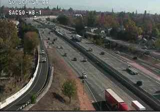
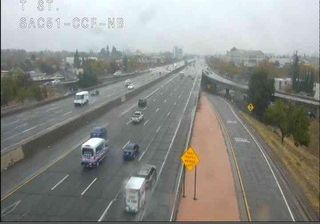

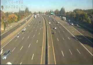
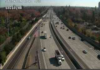




Tucked along the Sacramento River in California’s Central Valley, Sacramento is a place whose character is shaped by its position at the confluence of the Sacramento and American rivers. As California’s capital, it combines government districts around the neoclassical State Capitol with a working urban core. Old Sacramento preserves streets and buildings associated with the Gold Rush-era riverfront, when the city became an important supply and transport centre. The riverfront setting also recalls Sacramento’s early vulnerability to flooding, a challenge addressed by raising parts of the historic city. Museums, theatres and farm-to-fork restaurants give the central districts a distinctly local rhythm. Find related webcams in the surrounding area to build a fuller picture of Sacramento and the Central Valley.
47 webcams
California occupies a long Pacific coastal belt in the United States. Its terrain ranges from the Sierra Nevada and the fertile Central Valley to deserts in the southeast and the rugged shores of the Pacific Ocean. The state includes both Mount Whitney, the highest point in the contiguous United States, and extensive protected lands such as Yosemite National Park. California’s cities have exerted worldwide influence through film, technology, agriculture, and music; Hollywood remains an enduring symbol of the American screen industry. Its scale means climates and local character can change dramatically from one county to the next. Continue through nearby webcams to explore different parts of California.
2.9K webcams
The Atlantic, Pacific and Gulf coasts define much of the United States — their ports, fisheries and trade routes have long tied the country’s economy to the wider world. Between them, the Rocky Mountains, Great Plains and Mississippi River basin form sharply different regions, from high western ranges to broad agricultural heartlands. Cities carry much of the national story: New York’s Statue of Liberty, a gift from France dedicated in 1886, remains an enduring symbol, while Washington, DC concentrates major federal institutions. Indigenous nations have shaped these lands for millennia, and their living cultures remain essential to the country’s identity. Find related webcams in the surrounding areas to build a fuller picture of the United States.
32K webcams