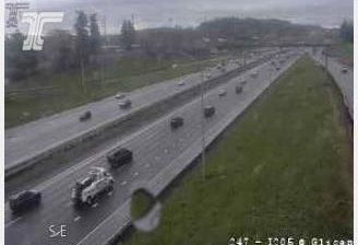
 Russellville: I-84 at I-205
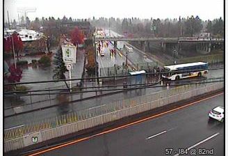
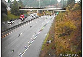
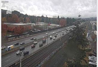
Built around a port on the Willamette River, Portland grew into Oregon’s largest city and a major commercial centre of the Pacific Northwest. The I-84/I-205 interchange lies in the city’s eastern districts, where the Banfield Expressway meets a north–south route connecting the Columbia River corridor with Portland International Airport and suburbs south of the city. I-84 follows the Columbia River east towards the Columbia Gorge, while I-205 crosses the Willamette on the Glenn L. Jackson Memorial Bridge. Portland’s identity was shaped by river trade, and the city was incorporated in 1851. Nearby neighbourhoods combine housing, employment areas and busy transport infrastructure, illustrating the connected, working side of a city also known for its bridges and parks.
Generated by AI



Built around the Logan County courthouse square, Russellville grew into the county seat and a commercial centre in south-central Kentucky. The town lies by the Red River, part of the Green River watershed, amid the rolling farmland of the Pennyroyal Plateau. Its historic centre retains a street pattern focused on the courthouse square and buildings associated with the nineteenth-century town. Russellville has a notable Civil War connection: in November 1861, delegates assembled here to create Kentucky's Confederate provisional government, although the state itself remained in the Union. Explore nearby webcam locations that provide complementary perspectives on Russellville and south-central Kentucky.
3 webcams
The Ohio River and Kentucky’s rolling limestone terrain define much of Kentucky — they support farming, horse breeding and river-linked trade. Mammoth Cave, in the state’s south-central area, is part of the world’s longest known cave system, while the Cumberland Plateau gives eastern Kentucky a more rugged character. Bourbon distilling is closely associated with the state, and Louisville’s Churchill Downs has hosted the Kentucky Derby since 1875. From fertile Bluegrass country to forested uplands, Kentucky connects several distinct American landscapes. See how Kentucky fits within the wider American interior by browsing webcams nearby.
39 webcams
The Atlantic, Pacific and Gulf coasts define much of the United States — their ports, fisheries and trade routes have long tied the country’s economy to the wider world. Between them, the Rocky Mountains, Great Plains and Mississippi River basin form sharply different regions, from high western ranges to broad agricultural heartlands. Cities carry much of the national story: New York’s Statue of Liberty, a gift from France dedicated in 1886, remains an enduring symbol, while Washington, DC concentrates major federal institutions. Indigenous nations have shaped these lands for millennia, and their living cultures remain essential to the country’s identity. Find related webcams in the surrounding areas to build a fuller picture of the United States.
32K webcams