 Rothenthurm: Finnenloipe Rothenthurm (Langlauf)
Rothenthurm has served as a rural settlement in the canton of Schwyz since the Middle Ages. It lies on the broad upland plain of the Rothenthurmer Hochmoor, one of Switzerland’s most important raised-bog landscapes, where meadows, farms and scattered woodland shape the route of the Finnenloipe cross-country trail. The village became a national reference point for wetland conservation in 1987, when Swiss voters approved the Rothenthurm Initiative, blocking a planned military installation and securing constitutional protection for marshes of national importance. Rothenthurm’s rail connection and open agricultural setting give this part of central Switzerland a notably spacious character.
Generated by AI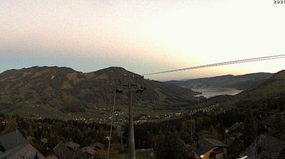
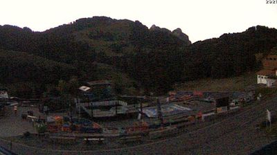
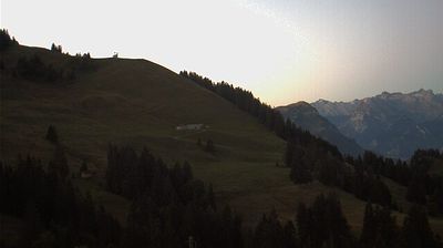

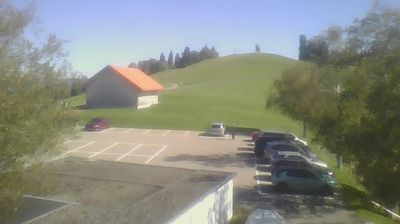
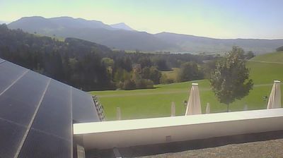
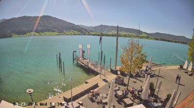
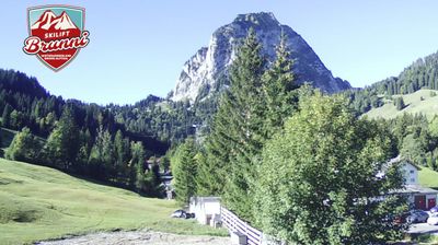

The landscape around Rothenthurm is a broad, peat-rich upland moor in the Schwyz plateau, which has shaped both the settlement pattern and local grassland farming. The Rothenthurm Moor, a complex of raised and transitional bogs, is among Switzerland’s most important wetland landscapes, with open meadows and peat soils setting it apart from the nearby Alpine valleys. Rothenthurm lies on the railway line between Biberbrugg and Arth-Goldau, connecting this open plateau with central Switzerland’s mountain routes. The village gave its name to the 1987 Rothenthurm Initiative, a national vote that strengthened constitutional protection for Swiss moorlands. Discover how Rothenthurm relates to central Switzerland by browsing webcams in the surrounding Schwyz area.
1 webcam
Built around an early settlement beneath the Mythen peaks, Schwyz grew into the capital of the canton that gave Switzerland its name. The town stands in central Switzerland between the Muota valley and the shores of Lake Lucerne, with the distinctive Grosser and Kleiner Mythen rising above its streets. Schwyz holds a defining place in the country’s political memory: it was one of the original cantons associated with the Federal Charter of 1291, preserved at the Museum of the Swiss Charters. Its historic centre, local traditions and access to mountain country give it a strongly regional identity. Move on to other webcams in the region to compare mountain and lakeside settings around Schwyz.
48 webcams
Switzerland stretches from the Jura Mountains in the northwest to the Alps in the south, encompassing a central plateau of cities, farms and lakes. The Rhine rises in the Swiss Alps, while Lake Geneva forms part of the country’s southwestern border. Zürich, Geneva and Basel are major urban centres, yet mountain railways and passes remain central to how many regions are experienced. Four national languages—German, French, Italian and Romansh—reflect Switzerland’s distinct cantonal identities. The Matterhorn above Zermatt is among Europe’s most recognisable peaks, and the 1291 Federal Charter is closely associated with the country’s founding tradition. Continue through nearby webcams to explore different parts of Switzerland.
1.1K webcams