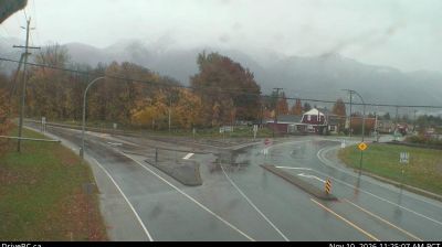
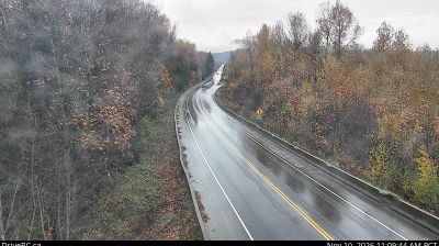
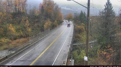
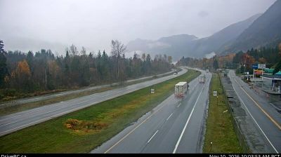
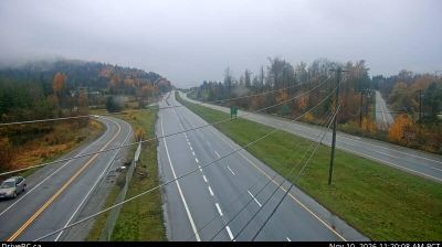
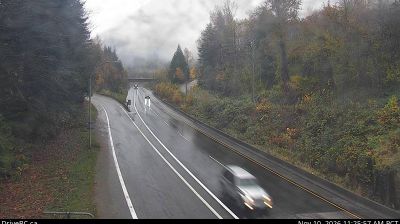
 Rosedale: Hwy 9, north end of Agassiz - Bridge, looking south
Among the communities of the Fraser Valley, Rosedale stands out for its working farmland set close to the Fraser River. This part of British Columbia lies on the broad valley floor between the Coast Mountains and the Cascade Range, where cultivated fields, drainage ditches and rural roads create a markedly different setting from nearby urban Chilliwack. Rosedale is linked to the north side of the river by the Agassiz–Rosedale Bridge, an important crossing for communities on both banks. The Fraser Valley is within the traditional territory of the Stó:lō peoples, whose name is connected with the Fraser River. Agriculture remains central to the local landscape and economy, from cultivated plots to farms supplying the wider region.
Generated by AI


St. George’s Bay defines the broader coastal setting of Rosedale — its open water and shore routes place this small Cape Breton Island community in the maritime context of northeastern Nova Scotia. Rosedale lies within Mi’kma’ki, the traditional territory of the Mi’kmaq, connecting it to the Indigenous cultural geography of Atlantic Canada. The area is rural in character, with settlements dispersed between the coast and wooded inland terrain. Move on to other webcams in Nova Scotia to compare coastal landscapes and settings around Cape Breton Island.
5 webcams
Built around Atlantic fisheries and seaborne trade, Nova Scotia grew into a maritime province whose communities remain closely tied to the water. Its peninsula and Cape Breton Island face the Atlantic, while the Bay of Fundy shapes much of the western coast and is known for some of the world’s highest tides. Halifax, the provincial capital, is home to the star-shaped Halifax Citadel National Historic Site, recalling the city’s strategic role as a harbour. Mi’kmaq culture is fundamental to the province’s identity, alongside Acadian and Gaelic traditions. Explore further points of interest through webcams across Nova Scotia.
89 webcams
Canada has served as a frontier between French and British colonial powers since the 17th century. The world’s second-largest country extends from Atlantic shores to the Pacific and Arctic coasts, with the Canadian Shield, the Rocky Mountains, the Great Lakes and the St. Lawrence River shaping its vast geography. First Nations, Inuit and Métis peoples are central to Canada’s identity, while Ottawa’s Parliament Hill represents its federal political life. French remains the official language of Quebec, adding a distinct dimension to the country’s public culture. See how Canada connects across North America by browsing webcams in neighbouring regions.
3.5K webcams