 Roitham am Traunfall: VK_A01_214,262-V0-FL
Roitham am Traunfall has served as a farming community in Upper Austria since medieval times. The municipality lies in the broad valley of the Traun, between the Salzkammergut foothills and rolling agricultural land west of the river. Its name refers to the Traunfall, a waterfall on the Traun that has long given this part of the region its identity. Fields and scattered farmsteads remain central to the local setting, while the nearby A1 West Autobahn connects the area with Linz and Salzburg. Roitham am Traunfall retains a distinctly rural character, with the Traun river corridor providing its clearest geographical thread.
Generated by AI
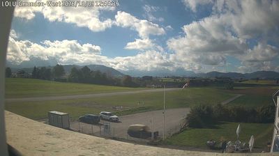

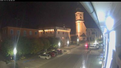

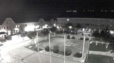


Roitham am Traunfall sits on the Traun River in Upper Austria, where the water runs over the broad rocky ledges of the Traunfall cascade. The municipality occupies a rural stretch of the Traun valley, with woodland, meadows and farmland surrounding the river. Traunfall is more than a local landmark: the force of the water is used by a hydroelectric power station beside the falls, reflecting the river’s practical importance to the area. Roitham lies within reach of both the Salzkammergut lake district and the larger urban centres of Upper Austria, while retaining the quieter character of a small riverside community. See how Roitham am Traunfall fits into the wider Traun valley and Upper Austria by browsing webcams nearby.
1 webcam
Formed around the Danube and Enns corridors, Upper Austria developed into one of Austria’s nine federal states. Linz, its capital on the Danube, combines a major industrial tradition with cultural institutions including the Ars Electronica Center. North of the river, the Mühlviertel rolls towards the Czech border; southward, the terrain rises into the Alpine foothills and the lake country of the Salzkammergut. Hallstatt, beside Hallstätter See, is among the region’s best-known historic settlements and lends its name to the Hallstatt period of early Iron Age Europe. Browse additional webcams from the surrounding area to extend your view of Upper Austria.
341 webcams
Austria stretches from the Bohemian Massif along its northern edge to the Carnic Alps on the Italian border, encompassing high Alpine ranges and the Danube lowlands. The Danube links cities including Linz and Vienna, while the Grossglockner, at 3,798 metres, is the country’s highest mountain. Vienna developed for centuries as the seat of the Habsburg court, leaving imperial architecture around the Hofburg and Schönbrunn Palace. Salzburg is closely associated with Wolfgang Amadeus Mozart, who was born there in 1756. Alpine Tyrol, wine-growing areas east of Vienna and the lakes of Salzkammergut add markedly different regional identities. Browse other webcams across Austria to place this setting in a wider geographic context.
2.9K webcams