 Riverton: US-69 SB at Baxter Springs MM 6.3
Riverton has served as a rural crossroads community in southeastern Kansas since the early 20th century. Set in the Spring River valley near the Oklahoma and Missouri borders, it belongs to the Tri-State district, whose landscape and economy were shaped by mining, railways and highway traffic. The town stands on the original Route 66, which crossed Kansas for only about 13 miles. Nearby, the 1923 Rainbow Bridge carries the old road across Brush Creek; its concrete Marsh arch makes it a noted Route 66 landmark. US-69 now handles longer-distance traffic, while fields, tree lines and scattered homes preserve the low-density character of Cherokee County.
Generated by AI
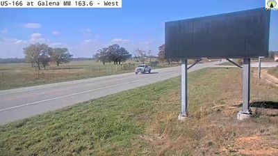
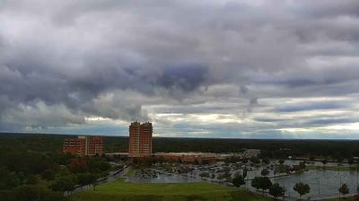

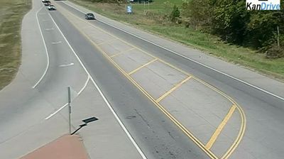
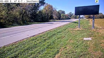
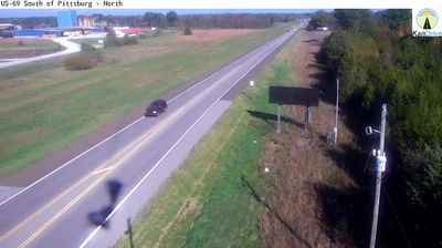

Riverton lies along the Spring River in southeastern Kansas, where wooded riverbanks and gently rolling farmland mark the state’s corner near Missouri and Oklahoma. The community stands on the historic Route 66 corridor, which brought cross-country motorists through Cherokee County during the highway’s early decades. Just west of town, the 1923 Rainbow Bridge carries the former road over Brush Creek; its concrete Marsh arch is a rare survivor from Route 66’s original era. That road heritage still gives this small settlement a place on journeys following the Mother Road. Explore nearby webcam locations that provide complementary perspectives on Riverton and southeastern Kansas.
1 webcam
The terrain of Kansas ranges from rolling hills in the east to High Plains grassland in the west, creating a broad, open state shaped by prairie and long river valleys. This central area lies within the agricultural heartland, where wheat fields and cattle country extend across the plains. The Arkansas River follows a wide course through central and southern Kansas, while the Flint Hills to the east preserve one of North America’s largest remaining expanses of tallgrass prairie. Kansas also holds an important place in US civil-rights history: the Brown v. Board of Education case began in Topeka. Explore other webcams from the area to see how this part of Kansas connects across the state.
387 webcams
The Atlantic, Pacific and Gulf coasts define much of the United States — their ports, fisheries and trade routes have long tied the country’s economy to the wider world. Between them, the Rocky Mountains, Great Plains and Mississippi River basin form sharply different regions, from high western ranges to broad agricultural heartlands. Cities carry much of the national story: New York’s Statue of Liberty, a gift from France dedicated in 1886, remains an enduring symbol, while Washington, DC concentrates major federal institutions. Indigenous nations have shaped these lands for millennia, and their living cultures remain essential to the country’s identity. Find related webcams in the surrounding areas to build a fuller picture of the United States.
32K webcams