 Riksgränsen: Bjørnfjell
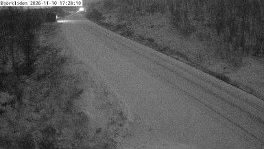
Bjørnfjell occupies a mountain pass beside the Swedish border in Norway’s Nordland region. At about 500 metres above sea level, this open upland forms part of the Scandinavian Mountains between Narvik and Riksgränsen. The E10 crosses the pass here, continuing east into Sweden and west toward the Ofotfjord and Narvik, a port long associated with exports of Swedish iron ore. Nearby, the Ofoten Line follows the same cross-border corridor; opened in 1902, it links Narvik with Sweden’s rail network. Bare rock, low mountain vegetation and expansive ground give Bjørnfjell a markedly different character from the coastal city below. Road and rail make this an important connection between northern Norway and Swedish Lapland.
Generated by AI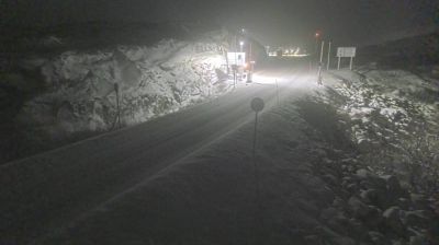
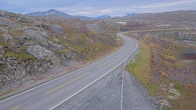
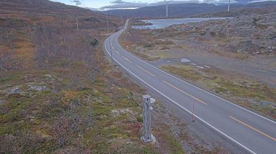

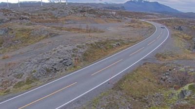
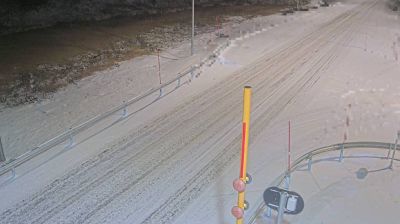
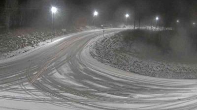


Lake Vassijaure defines the setting of Riksgränsen — its high-country waters and the surrounding Scandinavian Mountains make snow, wind and changing Arctic light part of daily life. Close to Norway’s border in Norrbotten County, this is one of Sweden’s best-known ski destinations, with a long season and terrain used for piste skiing and freeriding. The Iron Ore Line, called Malmbanan in Sweden, passes through the settlement on its route between the mining city of Kiruna and Narvik on Norway’s coast. That rail link reflects the area’s longstanding role in northern Scandinavian transport. Find related webcams in the surrounding border country to build a fuller picture of Riksgränsen and northern Norrbotten.
4 webcams
Developed around iron-ore fields and northern Sweden’s transport routes, Norrbotten County grew into the country’s largest county by area. It stretches from the Gulf of Bothnia’s low, island-dotted coast to the Scandinavian Mountains along the Norwegian border, while the Torne River forms part of its frontier with Finland. The county lies within Sápmi, the traditional homeland of the Sámi people, and reindeer herding remains integral to its northern identity. Near Luleå, Gammelstad Church Town is a UNESCO World Heritage site, preserving church cottages clustered around a medieval stone church. Continue with other webcams from the area to see how this far-northern part of Sweden connects between coast, forest, and mountains.
27 webcams
Sweden combines Baltic coastal life with Arctic expanses in a way that reflects its position within northern Europe. Forests, lakes and long shorelines define much of the country, from Lake Vänern in the south to the Gulf of Bothnia and the mountains along the Norwegian border. Stockholm spreads across islands where Lake Mälaren meets the Baltic Sea, while the preserved 17th-century warship at the Vasa Museum recalls Sweden’s era as a major European power. Midsummer celebrations and the traditions of the Sámi people add further depth to its regional identity. Browse other webcams across Sweden to place this setting in a wider geographic context.
984 webcams