 Richfield
Built around irrigated farmland along the Sevier River, Richfield grew into the seat of Sevier County and a service centre for central Utah. Its broad Main Street follows U.S. Route 89, while Interstate 70 runs just south of town, linking the community to longer east–west travel across the state. The settlement began in the 1860s, but conflict during the Black Hawk War forced early residents to leave before it was re-established in 1871. Shops, civic buildings and homes now occupy the valley floor beneath the layered cliffs and mesas of the surrounding high-desert country. Richfield is also a practical base for Fishlake National Forest and the Paiute Trail system, reflecting the outdoor economy that supports this regional hub.
Generated by AI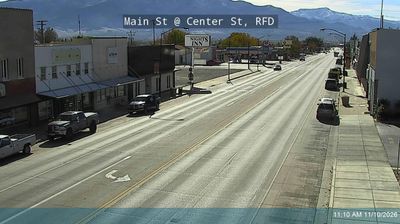
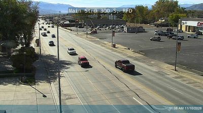


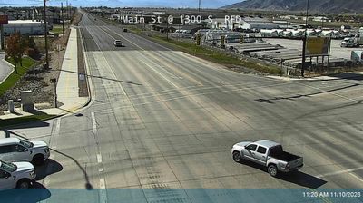

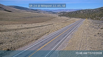
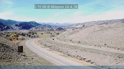


Richfield is best known within Utah for serving as the seat of Sevier County. Set in the Sevier Valley of central Utah, the city lies near the Sevier River, with Fishlake National Forest rising to the east. Its location at the junction of Interstate 70 and U.S. Route 89 has made it an important practical stop between southern Utah’s national parks and the state’s interior. County institutions, a historic commercial centre and the Richfield campus of Snow College give the community a civic and educational presence beyond its size. See how Richfield fits within central Utah by browsing webcams nearby.
6 webcams
Utah has functioned as a frontier region within the United States since the mid-19th century. Its terrain spans the Great Basin, the Wasatch Range and the Colorado Plateau, where red-rock canyons and high desert occupy much of the south and east. The Great Salt Lake is the state’s defining inland water body, while the Colorado River has carved some of its most dramatic canyon country. Salt Lake City grew from the 1847 settlement of Mormon pioneers, and Utah entered the Union in 1896. Five national parks, including Zion, Arches and Bryce Canyon, reflect the extraordinary variety of its protected landscapes. Continue through nearby webcams to explore different parts of Utah.
1.1K webcams
The Atlantic, Pacific and Gulf coasts define much of the United States — their ports, fisheries and trade routes have long tied the country’s economy to the wider world. Between them, the Rocky Mountains, Great Plains and Mississippi River basin form sharply different regions, from high western ranges to broad agricultural heartlands. Cities carry much of the national story: New York’s Statue of Liberty, a gift from France dedicated in 1886, remains an enduring symbol, while Washington, DC concentrates major federal institutions. Indigenous nations have shaped these lands for millennia, and their living cultures remain essential to the country’s identity. Find related webcams in the surrounding areas to build a fuller picture of the United States.
32K webcams