 Rejhotice: Obec Loučná nad Desnou - Loučná nad Desnou
Rejhotice lies in the Desná valley, where open mountain meadows and dispersed homes meet the wooded slopes of the Hrubý Jeseník range. It is part of Loučná nad Desnou, a municipality extending across several settlements in the upper Desná valley of northern Moravia. Houses gather along the valley floor and lower hillsides, while pasture and forest cover much of the steeper land. The surrounding Jeseníky have been shaped by mountain farming and forestry for generations, giving this part of Czechia a distinctly rural upland character. Rejhotice belongs to a settled mountain landscape rather than a remote wilderness, with neighbouring communities following the course of the Desná.
Generated by AI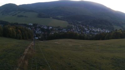
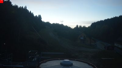


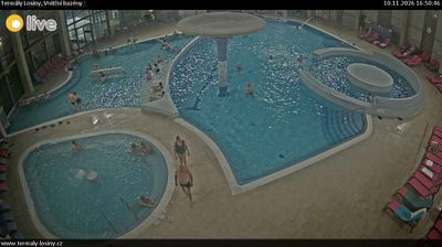
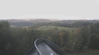

Rejhotice combines a quiet valley setting with the robust character of a mountain settlement in a way that reflects its position on the Desná River beneath the Jeseníky Mountains. It is one of the local parts of Loučná nad Desnou, where small settlements are strung along a narrow, forest-lined valley. The higher country around it is shaped by steep slopes, mountain roads and routes used for walking, cycling and winter sports. In the surrounding Jeseníky, the Dlouhé Stráně pumped-storage power station is a notable piece of Czech engineering. Continue with other webcams from the Jeseníky area to see how this part of northern Moravia connects regionally.
5 webcams
Olomouc Region occupies a varied inland belt in eastern Czechia. Its terrain moves from the fertile Haná lowlands around Olomouc to the forested Jeseníky Mountains in the north, where Praděd reaches 1,491 metres, the highest summit in Moravia and Czech Silesia. The Morava River provides a north–south thread through the region and has long supported settlement and farming. Olomouc, the historic capital of Moravia, retains a notable baroque core; its Holy Trinity Column is inscribed on UNESCO’s World Heritage List. Smaller towns, agricultural country and mountain communities give the region a distinctly changing character. Browse other webcams across Olomouc Region to place this setting in a wider geographic context.
81 webcams
The terrain of Czechia ranges from fertile lowlands in southern Moravia to mountain ridges along the northern frontier, giving this Central European country a distinctly varied geography. The Vltava runs through Prague before joining the Elbe, while the Krkonoše form part of the border with Poland and include Sněžka, Czechia’s highest mountain. Prague’s historic centre, with Prague Castle and Charles Bridge, reflects the city’s long role as a political and cultural centre. Beyond the capital, Bohemia is known for spa towns and brewing, and Moravia for wine-growing traditions. View additional webcams nearby to better understand how Czechia relates to its Central European surroundings.
1.4K webcams