 Reitstøa
The landscape around Reitstøa is gently rolling and forested in the Gaula valley, which has shaped both the built environment and local life. This small inland locality lies in Trøndelag, where the Gaula continues north through Støren towards the Trondheimsfjord. Forest, scattered farmland and road links define this section of the valley. County Road 30 follows the Gaula corridor between Støren and Røros, connecting small settlements with two important places in inland Trøndelag. Røros, at the eastern end of the route, is a UNESCO World Heritage mining town, giving this road a link to one of Norway’s most distinctive cultural landscapes. Reitstøa represents the quieter, wooded interior between the main valley and the mountain town.
Generated by AI
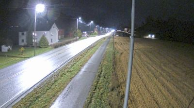
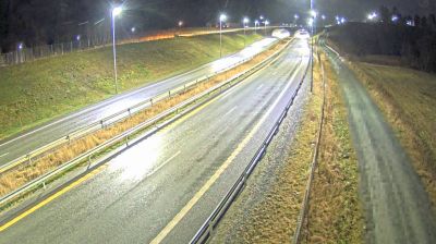

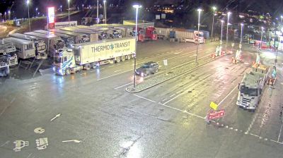
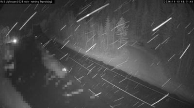
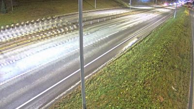

Tucked along the Gaula River in inland Trøndelag, Reitstøa is a place whose character is shaped by the broad valley floor and the wooded hills around it. It belongs to the Gauldalen valley, where cultivated fields and forest follow the river corridor through central Norway. The settlement reflects the rural side of Trøndelag, far from the coastal city life associated with Trondheim. Continue through nearby webcams to explore different parts of the Gauldalen valley and Trøndelag.
1 webcam
Trøndelag occupies a broad coastal and inland region in central Norway. Trondheim Fjord reaches deep into the land, linking farming districts, wooded hills and settlements around Trondheim, the region’s historic and cultural centre. The city was an important medieval pilgrimage destination and is home to Nidaros Cathedral, Norway’s national sanctuary and one of the country’s foremost Gothic monuments. Farther inland, valleys and upland areas lead towards the Scandinavian Mountains, while the coast breaks into islands, channels and sheltered bays. Browse other webcams across Trøndelag to place this central Norwegian setting in a wider geographic context.
119 webcams
Norway has served as a seafaring link between the North Atlantic and northern Europe since the Viking Age. Its long coastline is cut by fjords, while the Lofoten archipelago rises sharply from the Norwegian Sea and the mountains of Jotunheimen include Galdhøpiggen, Norway’s highest peak. Bergen’s Bryggen, the former Hanseatic wharf, recalls centuries of maritime trade. Farther north, Sámi culture remains an essential part of the country’s identity. Explore nearby webcam locations that provide complementary perspectives on Norway’s coast, fjords and mountain regions.
1.5K webcams