 Rehetobel: › South - Dorf
Among the places of Appenzell Ausserrhoden, Rehetobel stands out for its dispersed settlement across the rolling Appenzell hills. This rural community in northeastern Switzerland lies north of the Alpstein range, in a terrain of pasture, small farmsteads and wooded slopes. Its built fabric reflects the region’s long-established farming tradition, with houses and working land woven closely together rather than concentrated in a large centre. Appenzell Ausserrhoden was also an important centre of textile embroidery and home-based production during the 19th and early 20th centuries, a history that helped shape many communities across the canton. Rehetobel retains the measured, agricultural character of the Appenzell uplands.
Generated by AI


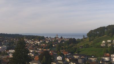
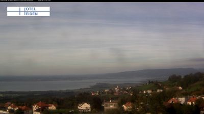
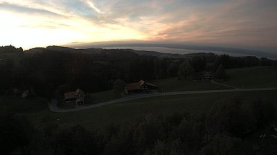
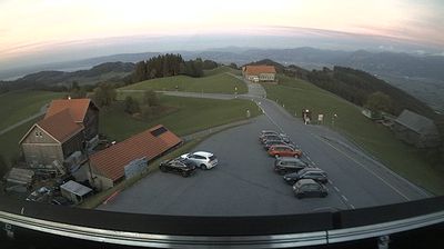

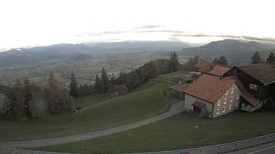
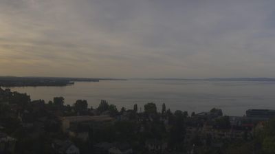

Among the communities of Appenzell Ausserrhoden, Rehetobel stands out for its setting on a ridge around 800 metres above the Lake Constance basin. Pastures and farmhouses shape the surrounding Appenzell foothills, which slope eastward toward the Rhine Valley and Austria. This is a rural part of northeastern Switzerland rather than an Alpine resort, with St. Gallen and the Lake Constance shore forming part of its wider setting. Rehetobel belongs to the Appenzellerland cultural area, whose dairy farming traditions are closely associated with Appenzeller cheese. Continue through nearby webcams to explore different parts of Appenzell Ausserrhoden.
1 webcam
Among Switzerland’s cantons, Appenzell Ausserrhoden stands out for rolling pre-Alpine hills and a long textile tradition. In the northeast of the country, it stretches from upland pastures towards the Lake Constance basin, with the Alpstein range rising close to its southern edge. Herisau, the cantonal seat, developed as a centre of textile production; embroidery and weaving helped shape the area’s economy in the 19th century. The canton emerged in 1597 when the historic Appenzell territory divided along confessional lines, leaving Ausserrhoden predominantly Reformed. Farmhouses, grazing land and compact towns still define much of its settled countryside. Continue through nearby webcams to explore different parts of Appenzell Ausserrhoden.
14 webcams
Switzerland stretches from the Jura Mountains in the northwest to the Alps in the south, encompassing a central plateau of cities, farms and lakes. The Rhine rises in the Swiss Alps, while Lake Geneva forms part of the country’s southwestern border. Zürich, Geneva and Basel are major urban centres, yet mountain railways and passes remain central to how many regions are experienced. Four national languages—German, French, Italian and Romansh—reflect Switzerland’s distinct cantonal identities. The Matterhorn above Zermatt is among Europe’s most recognisable peaks, and the 1291 Federal Charter is closely associated with the country’s founding tradition. Continue through nearby webcams to explore different parts of Switzerland.
1.5K webcams