 Rautavaara: Tie 75 - Hankamäki - Nurmekseen
Boreal forests and lakes define the setting of Rautavaara — their mosaic gives this North Savo municipality a spacious, strongly wooded character. National Road 75 passes through the area, connecting its small settlements with the wider road network of eastern Finland. Rautavaara was established as a municipality in 1874 and remains lightly populated, with daily life spread between its centre, forest holdings and lakeshores. This is part of Finland’s lake district rather than a continuous urban landscape: long road sections, conifer woodland and water shape the local sense of distance. Tiilikka National Park protects nearby peatlands, forests and lake shores.
Generated by AI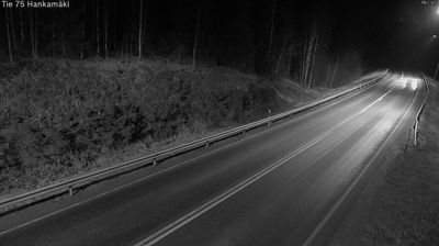
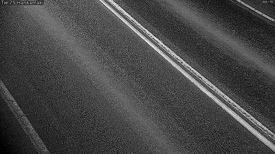
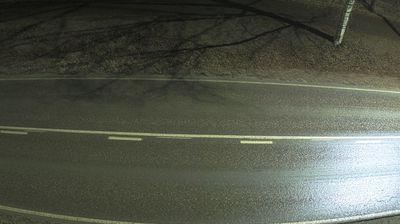
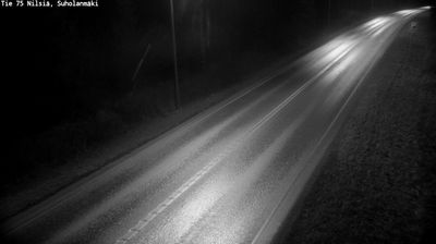
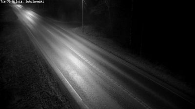


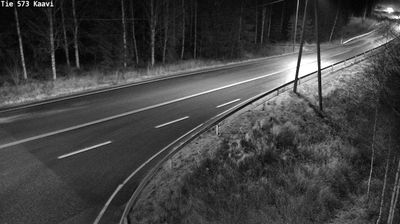


Rautavaara lies amid the lake-and-forest country of North Savo, where extensive woodlands, wetlands and quiet waterways shape eastern Finland’s inland terrain. The municipality is close to Tiilikkajärvi National Park, a protected area centred on Lake Tiilikkajärvi and known for its sandy shores, old-growth forest and marked hiking routes. Rautavaara is part of a sparsely populated region where outdoor life follows the rhythm of the seasons, from summer paddling and berry picking to winter skiing. Its small centre provides local services for residents and travellers exploring this remote corner of Finland. Place Rautavaara in its wider North Savo setting by browsing webcams nearby.
4 webcams
North Savo combines the calm of a lake-filled countryside with the bustle of Kuopio in a way that reflects its position within eastern Finland’s Lakeland. Water shapes everyday life: Lake Kallavesi surrounds much of Kuopio, while forests, islands and smaller lakes extend across the wider region. Kuopio is North Savo’s administrative and cultural centre, recognised for the Puijo Tower and its connection with winter sports. Local food culture is equally distinctive, especially kalakukko, a traditional rye loaf baked around fish and pork. See how North Savo sits within Finland’s Lakeland by browsing webcams nearby.
117 webcams
The terrain of Finland ranges from low coastal plains along the Gulf of Bothnia to fells in Lapland, creating a country of forests, lakes and long northern distances. More than 180,000 lakes shape everyday life, while the Lakeland region is threaded with waterways and islands. Helsinki, on the Gulf of Finland, combines neoclassical landmarks around Senate Square with contemporary Finnish design. Farther north, the Sámi are Finland’s only recognised Indigenous people, and their culture remains closely connected to the Arctic region. In winter, snow and ice transform the north; in summer, long daylight extends outdoor life well into the evening. Continue through nearby webcams to explore different parts of Finland.
1.7K webcams