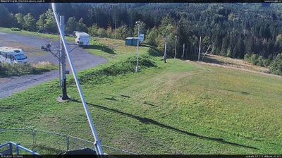
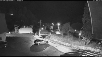
 Rajnochovice: Skiareál Troják - Kamera u nástupu na vlek svah A
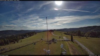
Among the places of the Zlín Region, Rajnochovice stands out for its wooded Hostýn Hills setting and the Troják mountain pass. The scattered municipality occupies a folded upland landscape of meadows, small agricultural plots and extensive forest in eastern Moravia. The Juhyně River rises in the area and flows north toward the Morava. Troják is a road pass and recreation point on the ridge, with a ski area using open slopes beside the forest. Rajnochovice lies on the edge of the wider Wallachian cultural region, whose folk traditions and dispersed settlement have helped shape this part of eastern Moravia. Marked walking and cycling routes link the Hostýn Hills with surrounding communities.
Generated by AI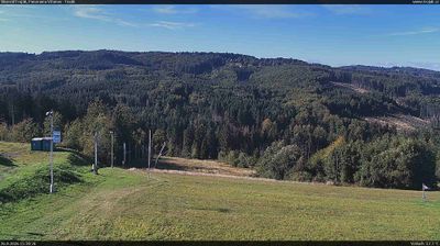




Built around forestry clearings in the wooded Hostýn Hills, Rajnochovice developed into a dispersed municipality in eastern Moravia. The settlement lies among ridges, valleys and extensive forest managed for generations as an important local resource. Its former narrow-gauge forest railway, built to carry timber, recalls the area’s working landscape and industrial past. Rajnochovice belongs to the Zlín Region, where the Hostýn Hills form a quieter upland between the Haná lowlands and the Moravian-Silesian Beskids. Find related webcams in the surrounding area to build a fuller picture of the Hostýn Hills.
2 webcams
Centred on the industrial city of Zlín and the valleys of eastern Moravia, Zlínský kraj developed into a distinct region of Czechia. Zlín is closely associated with the Bata shoe company, whose factory-led expansion gave the city its notable Functionalist architecture. To the east, the White Carpathians follow the Slovak border, while the Morava River crosses lowlands near Uherské Hradiště. Velehrad, one of the country’s important pilgrimage places, adds another dimension to the area’s Moravian identity. Browse webcams nearby to see how Zlínský kraj belongs to the wider landscape of eastern Moravia.
93 webcams
The terrain of Czechia ranges from fertile lowlands in southern Moravia to mountain ridges along the northern frontier, giving this Central European country a distinctly varied geography. The Vltava runs through Prague before joining the Elbe, while the Krkonoše form part of the border with Poland and include Sněžka, Czechia’s highest mountain. Prague’s historic centre, with Prague Castle and Charles Bridge, reflects the city’s long role as a political and cultural centre. Beyond the capital, Bohemia is known for spa towns and brewing, and Moravia for wine-growing traditions. View additional webcams nearby to better understand how Czechia relates to its Central European surroundings.
1.4K webcams