 Rajka: M15 - pihenő, bal oldal -> Bal oldal 1
Built around an agricultural settlement on the Little Hungarian Plain, Rajka grew into a Hungarian border community beside Slovakia, close to Austria. The Danube flows north of the village, while the low, open country around it supports farming and major transport routes. Rajka lies on the M15 motorway, Hungary’s direct road connection from the M1 toward Bratislava, and its border location has made freight movement and roadside services an important part of the local setting. The village also preserves German and Croatian minority traditions. Rather than monumental sights, Rajka is defined by the meeting of the Danube plain, cross-border commuting and international logistics.
Generated by AI

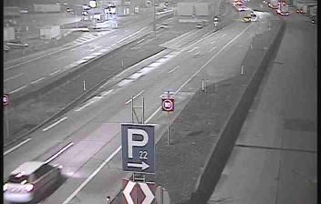

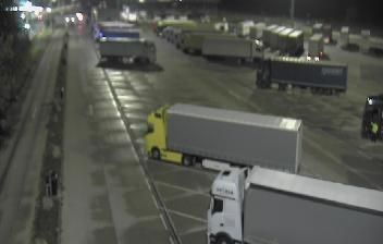
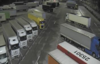

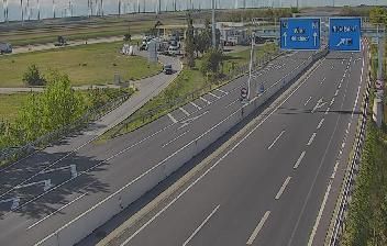
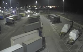


Rajka occupies a low-lying borderland on the northwestern fringe of the Little Hungarian Plain in Transdanubia. The Danube flows a few kilometres north of the settlement, and its course forms part of the Hungarian-Slovak frontier. Hungary, Slovakia and Austria meet nearby, giving Rajka a practical role on routes between Bratislava and northwestern Hungary. The village’s Catholic church remains a focal point of local life, while its German minority community reflects the area’s layered borderland identity. Fields and straight country lanes keep Rajka closely tied to the rural landscape of Győr-Moson-Sopron County. Continue with other webcams from the area to see how this part of Transdanubia connects regionally.
1 webcam
Built around the lands west of the Danube, Transdanubia grew into Hungary’s broad western historical region. This location lies on Lake Balaton’s northern shore near Balatonfüred, where the Balaton Uplands rise behind the water in a mosaic of vineyards, basalt hills and small settlements. Lake Balaton, Central Europe’s largest lake, has long shaped local recreation, agriculture and summer life. Across the bay, the Tihany Peninsula is marked by its Benedictine Abbey, founded in 1055 and associated with one of Hungary’s earliest surviving written records. Continue with other webcams from the area to see how this part of western Hungary connects regionally.
304 webcams
Hungary combines a long urban tradition with expansive lowland horizons in a way that reflects its position within the Carpathian Basin. The Danube runs through Budapest, separating the hills of Buda from the grand boulevards of Pest, where the Hungarian Parliament Building stands on the riverbank. Beyond the capital, the Great Hungarian Plain shapes much of the east, while Lake Balaton, Central Europe’s largest lake, draws summer visitors to its shores. Thermal bathing remains part of everyday life, and the Tokaj region is internationally known for its historic sweet wines. Explore nearby webcam locations that provide complementary perspectives on Hungary.
742 webcams