 Pōkeno: SH1/SH2 Interchange
Pōkeno sits at the southern foot of the Bombay Hills in New Zealand’s Waikato region, where State Highway 1 meets State Highway 2 and major road links extend toward Auckland, the Coromandel Peninsula and the Bay of Plenty. The settlement developed beside the Great South Road, a 19th-century colonial route whose construction strengthened this transport corridor. Today, Pōkeno is a rapidly growing Waikato township framed by pastureland and low wooded hills. Its position between Auckland and Hamilton gives it a strongly connected, road-oriented character, while local shops and services cater for residents and passing traffic.
Generated by AI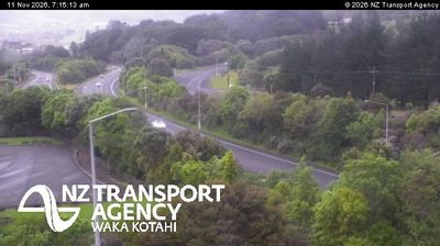




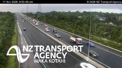
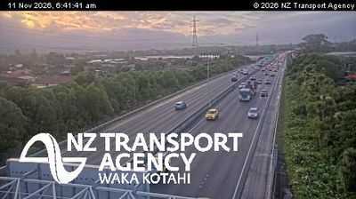
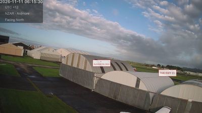
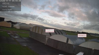


Pokeno sits at the southern foot of the Bombay Hills in Waikato, New Zealand, where rolling pasture gives way to the northern Waikato lowlands. The hills form a recognised transition between the Auckland area and Waikato, while the town stands at the junction of State Highways 1 and 2. This road position links traffic towards Auckland and Hamilton, as well as Thames and the Coromandel Peninsula. Pokeno remains a rural service centre, with dairy farming central to the surrounding district. It is also known nationally for Pokeno Ice Cream, a popular stop for travellers on the main north–south route. Browse other webcams across Waikato to place this setting in a wider geographic context.
2 webcams
The terrain of Waikato ranges from fertile river plains around Hamilton to forested ranges on the Coromandel Peninsula to the east, giving the region a varied mix of farmland, waterways and upland country. The Waikato River, New Zealand’s longest, runs through Hamilton and is central to the region’s geography and to Waikato-Tainui, the local Māori iwi. Hamilton is also home to Hamilton Gardens, an extensive public garden complex beside the river. Farther west, the Tasman Sea coast includes black-sand beaches shaped by volcanic material, while the south leads towards the central North Island’s geothermal and volcanic districts. Explore nearby webcam locations that provide complementary perspectives on Waikato.
17 webcams
New Zealand combines Pacific isolation with strong ties to the wider South Pacific in a way that reflects its position between the Tasman Sea and the open Pacific Ocean. The country’s two main islands are divided by Cook Strait, while the Southern Alps run along much of the South Island and include Aoraki / Mount Cook, its highest mountain. On the North Island, volcanic terrain shapes Tongariro National Park and the central plateau; long coastlines frame cities such as Auckland and Wellington. Māori culture is central to national life, and the Treaty of Waitangi, first signed in 1840, remains a foundational document in relations between Māori and the Crown. See how New Zealand fits within the wider South Pacific by browsing webcams nearby.
491 webcams