 Prilipe: A2/E70, Karavanke - Obrežje
Prilipe sits in the Sava Valley in eastern Slovenia, where the A2 motorway follows gently rolling farmland near Brežice. This small settlement belongs to the Posavje area, a lowland-and-hill country shaped by the Sava and by routes leading from Ljubljana towards the Croatian border. Fields, grassland and wooded slopes surround the transport corridor, while Brežice provides the nearest urban reference point. Its castle, home to the Posavje Museum Brežice, is a leading cultural landmark of the district. The town also lies near the confluence area of the Sava and Krka rivers, placing Prilipe within Slovenia’s southeastern borderland.
Generated by AI
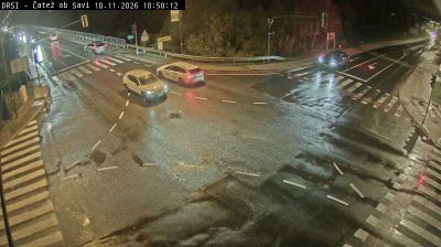

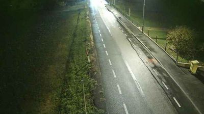
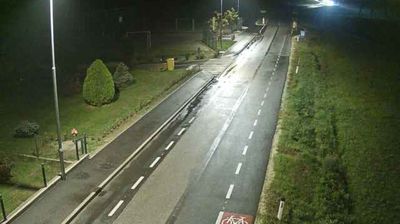

Among the settlements of southeastern Slovenia, Prilipe stands out for its position in the Sava basin close to Brežice and the Croatian border. This is part of the Posavje area, where low hills and farmland meet the broad river plain. Nearby Brežice is known for its castle, home to the Posavje Museum Brežice, while the Sava has long shaped travel and settlement across this borderland. Explore how Prilipe relates to the Sava valley and the Brežice area by browsing webcams nearby.
2 webcams
Slovenia occupies a meeting point of the Alps, the Pannonian Plain, the Dinaric mountains and the Adriatic coast in south-central Europe. The Julian Alps rise in the northwest, where Triglav is the country’s highest mountain, while the Soča River is known for its clear turquoise water. Karst terrain has shaped caves such as Postojna Cave and the Škocjan Caves, a UNESCO World Heritage site. Ljubljana combines a riverside old town with works by architect Jože Plečnik; farther east, wine-growing regions and thermal springs add another dimension. Slovenian food reflects Alpine, Mediterranean and Balkan influences. Find related webcams in the surrounding area to build a fuller picture of Slovenia and the northern Adriatic.
776 webcams