 Point Alison: Hwy 16 (South side of HWY)
Among the places of Alberta, Point Alison stands out for its open position beside Highway 16, north of Lake Wabamun. This is central Alberta as a working rural corridor: cultivated fields and roadside grassland extend across gently rolling ground, with utility lines tracing the road. Lake Wabamun lies just south of the highway and is a well-known recreation area for the Edmonton region. Highway 16 is Alberta’s Yellowhead Highway, an east–west route named after Tête Jaune, a fur trader and guide. Point Alison gives travellers a sense of the province beyond its cities, where transport links, farms and lake country meet.
Generated by AI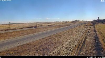
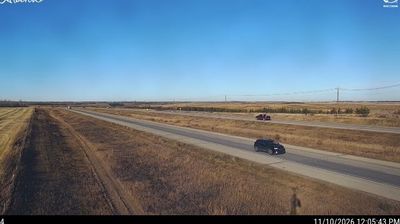


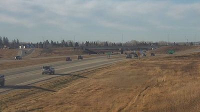
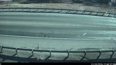
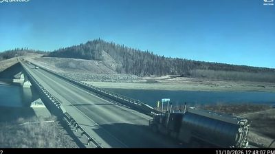


Point Alison has served as a summer-resort community on Wabamun Lake in Alberta since the early twentieth century. This small summer village occupies the lake’s northern shore, west of Edmonton, where cottages and shoreline homes reflect a long-standing Alberta tradition of weekend escapes to the water. Wabamun Lake is a broad, shallow lake whose boating culture draws seasonal residents from the capital region. Point Alison remains principally residential rather than a full-service town, giving it a low-key character. Its setting forms part of a belt of forests, farms and recreational communities west of Edmonton. See how Point Alison fits into the wider Wabamun Lake area by browsing webcams nearby.
3 webcams
Among Canada’s provinces, Alberta stands out for its transition from the Canadian Rockies through prairie to the boreal forest of the north. The province’s western edge is defined by the Rocky Mountains, while the Athabasca and Peace river systems drain vast northern areas. This location lies in northwestern Alberta, where forests, wetlands and communities linked to the energy sector shape the interior. Banff and Jasper national parks protect renowned mountain country, including the Columbia Icefield. Cree, Blackfoot, Dene and Métis communities are integral to Alberta’s cultural fabric. Calgary’s Stampede, first held in 1912, remains the province’s best-known celebration of western heritage. Discover other points of interest through webcams located across Alberta.
352 webcams
Canada has served as a frontier between French and British colonial powers since the 17th century. The world’s second-largest country extends from Atlantic shores to the Pacific and Arctic coasts, with the Canadian Shield, the Rocky Mountains, the Great Lakes and the St. Lawrence River shaping its vast geography. First Nations, Inuit and Métis peoples are central to Canada’s identity, while Ottawa’s Parliament Hill represents its federal political life. French remains the official language of Quebec, adding a distinct dimension to the country’s public culture. See how Canada connects across North America by browsing webcams in neighbouring regions.
3.5K webcams