 Podsmreka: H3, Ljubljana - severna obvoznica, Ljubljana (Dunajska - Celovška)
Podsmreka lies along the northern edge of the Ljubljana Basin, where woodland and major transport corridors meet the capital’s outer districts. This part of Ljubljana is crossed by the northern section of the city’s ring road, linking the Dunajska and Celovška approaches and carrying regional traffic around the urban core. The Sava flows through the lowland north of the centre, while the Julian Alps rise farther to the northwest. Ljubljana developed from the Roman settlement of Emona and has been Slovenia’s capital since independence in 1991.
Generated by AI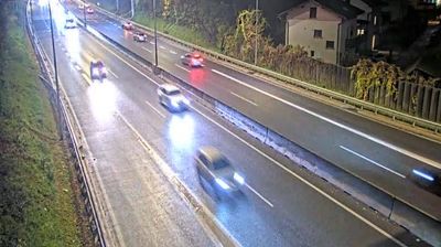
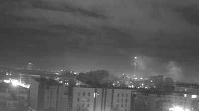
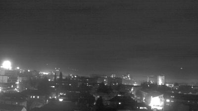
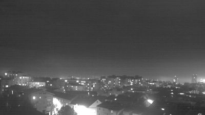
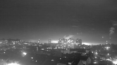
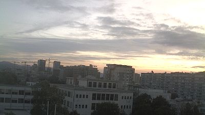
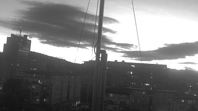
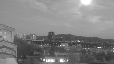
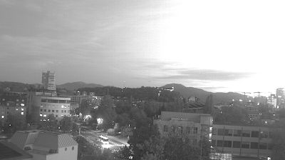

Podsmreka is best known within central Slovenia for its position beneath the wooded Polhov Gradec Dolomites. The settlement lies on Ljubljana’s western outskirts, where the city’s suburban edge quickly gives way to the low, folded hills and rural lanes of the Dobrova–Polhov Gradec municipality. The nearby Gradaščica Valley leads towards Polhov Gradec, whose manor houses the Museum of Post and Telecommunications. Podsmreka is well placed for discovering a quieter side of the Ljubljana area while remaining close to the capital. Explore nearby webcam locations that provide complementary perspectives on Podsmreka and the Ljubljana region.
3 webcams
Upravna Enota Ljubljana stretches from the Sava River to the wooded Dinaric foothills south of the capital, encompassing the lowlands of the Ljubljana Basin and the city’s suburban fringe. At its centre lies Ljubljana, Slovenia’s political and cultural capital, arranged along the Ljubljanica River. The riverfront is defined by the Triple Bridge and the Central Market, both closely associated with architect Jože Plečnik, while Ljubljana Castle stands on the hill above the old town. Beyond the urban core, settlements, farmland and forest connect the basin with karst country to the south. Explore nearby webcam locations that provide complementary perspectives on Ljubljana and central Slovenia.
67 webcams
Slovenia occupies a meeting point of the Alps, the Pannonian Plain, the Dinaric mountains and the Adriatic coast in south-central Europe. The Julian Alps rise in the northwest, where Triglav is the country’s highest mountain, while the Soča River is known for its clear turquoise water. Karst terrain has shaped caves such as Postojna Cave and the Škocjan Caves, a UNESCO World Heritage site. Ljubljana combines a riverside old town with works by architect Jože Plečnik; farther east, wine-growing regions and thermal springs add another dimension. Slovenian food reflects Alpine, Mediterranean and Balkan influences. Find related webcams in the surrounding area to build a fuller picture of Slovenia and the northern Adriatic.
776 webcams