 Philipsburg
 sits on Great Bay in Sint Maarten, where a narrow strip of land separates the Caribbean shore from the Great Salt Pond. The capital of the Dutch side of Saint Martin extends along a sandy waterfront, with the Boardwalk forming its public seaside promenade and Front Street running through the older commercial centre behind it. Founded in 1763 by Scottish captain John Philips, the town retains its role as the island’s principal port and shopping district. Great Bay’s sheltered curve, the beachfront and the low hills at either end give Philipsburg a distinctly compact coastal setting.
Generated by AI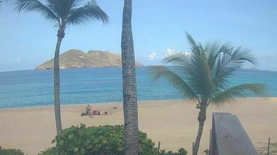

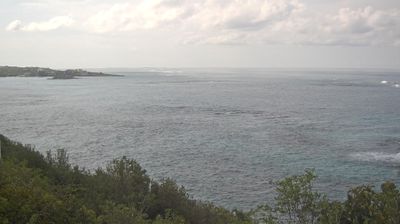

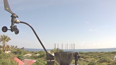

Philipsburg sits on Great Bay in Sint Maarten, a Dutch Caribbean country within the Kingdom of the Netherlands, where a narrow strip of land separates the sea from Great Salt Pond. As the territory’s capital, it is the administrative and commercial centre of the Dutch side of the island, with Front Street forming the historic spine behind the waterfront. The Courthouse on Front Street remains a familiar civic landmark, while the beachside boardwalk follows the curve of Great Bay. Fort Amsterdam, on the headland between Great Bay and Little Bay, recalls the island’s strategic colonial past. Continue through nearby webcams to explore different parts of Sint Maarten.
1 webcam
Sint Maarten combines Dutch-Caribbean urban energy with a compact island setting in a way that reflects its position on the southern half of an island shared with France. Its capital, Philipsburg, follows Great Bay on the Caribbean Sea, where Front Street links shops, restaurants and the historic courthouse. The 1648 Treaty of Concordia established the island’s French-Dutch division, a border that remains open today. Beyond the capital, Simpson Bay and the shores around the island bring marinas, beaches and the low, dry contours typical of the northeastern Caribbean. Continue to other webcams in Sint Maarten to compare coastal scenes and town settings around the Dutch side of the island.
1 webcam
Among the countries of northwestern Europe, the Netherlands stands out for its carefully managed lowlands in the Rhine–Meuse–Scheldt delta. Much of the country lies low in relation to the sea, and dikes, dunes, pumps and polders are integral to its everyday geography. The North Sea coast ranges from broad beaches to the Wadden Sea, a tidal area shared with Germany and Denmark. Amsterdam’s 17th-century canal ring recalls an era when Dutch trade connected the republic with ports around the world. Beyond the capital, bicycles, dairy farming, bulb fields and compact historic cities give the country a distinct rhythm. Rotterdam’s port and the Delta Works show how maritime commerce and water engineering remain central. View additional webcams nearby to better understand how the Rhine–Meuse–Scheldt delta relates to its North Sea surroundings.
132 webcams