 Pfaffenhofen an der Ilm: Stadtpfarrkirche St. Johannes Baptist - Spitalkirche Hl. Geist - Mariensäule mit Brunnen - Hauptplatz
Pfaffenhofen an der Ilm straddles the Ilm River in Upper Bavaria, and its position in the Hallertau hop-growing region has long linked the town with the surrounding countryside. Hauptplatz is its civic centre, an elongated paved square framed by gabled townhouses and church buildings. The Mariensäule and fountain provide a focal point, while the Holy Spirit Church and the Stadtpfarrkirche St. Johannes Baptist create a distinctive clerical skyline. This is a working Bavarian district town rather than a preserved museum quarter: shops, cafés and daily life share the centre with established local traditions. Its position between Munich and Ingolstadt also places Pfaffenhofen in one of Bavaria’s best-connected urban corridors.
Generated by AI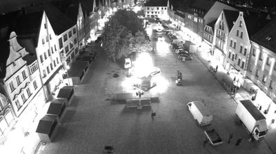

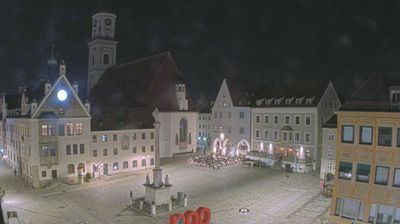
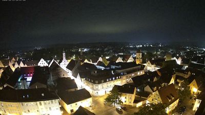
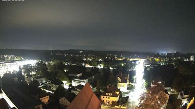


Pfaffenhofen an der Ilm is best known within Bavaria for its role in the Hallertau hop-growing region, the world’s largest contiguous hop-growing area. The town follows the Ilm River through Upper Bavaria, between Munich and Ingolstadt, and its broad Hauptplatz serves as the civic centre. Hops are more than a crop here: Hallertau cultivation and trading traditions have long informed local farming, commerce and Bavaria’s brewing culture. In the centre, the parish church of St John the Baptist and the town hall give the square a historic focal point, while markets, cafés and local shops keep the county town lively year-round. Continue through nearby webcams to explore different parts of Pfaffenhofen an der Ilm and the Hallertau.
2 webcams
Built around the early medieval Duchy of Bavaria, Bavaria grew into Germany’s largest federal state. The Danube crosses its broad centre, while the Bavarian Alps form its southern edge and include the Zugspitze, Germany’s highest mountain. Munich is the state capital and the home of Oktoberfest, a festival rooted in an 1810 royal wedding. Beyond the metropolis, Franconia’s vineyards, Swabian towns and Alpine resorts reveal how varied this part of Germany can be. Browse additional webcams from the surrounding area to extend your view of Bavaria.
573 webcams
Germany stretches from the North Sea and Baltic Sea coasts to the Alps on its southern border, encompassing northern plains, river valleys and forested uplands. The Rhine, Danube and Elbe have long connected its regions, while the Black Forest and Bavarian Alps give the south a more dramatic relief. Berlin’s Brandenburg Gate and Museum Island reflect the capital’s role in German history and culture. Cologne Cathedral, a UNESCO World Heritage Site, rises above the Rhine, and the Bauhaus movement, founded in Weimar in 1919, transformed modern design far beyond Germany. Regional cooking, Christmas markets and brewing traditions bring further character to daily life. Browse additional webcams from the surrounding area to extend your view of Germany.
2.1K webcams