 Pecs: Arpadvaros: Pécs, Siklósi út -> Városközpont
Pécs straddles the southern foothills of the Mecsek Hills in southern Transdanubia, a position that has made it a regional centre between the Hungarian plain and wooded uplands. Known in Roman times as Sopianae, the city preserves the Early Christian Necropolis, a UNESCO World Heritage site with painted 4th-century burial chambers. Pécs also developed under Ottoman rule; the former Mosque of Pasha Qasim on Széchenyi Square is now a Catholic church and remains a defining feature of the centre. The Zsolnay Cultural Quarter recalls the city’s renowned ceramics manufactory, while the university, established in 1367, gives Pécs a lasting academic identity. Urban districts extend from the historic core towards the Mecsek slopes.
Generated by AI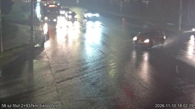



The landscape around Pécs is formed by the wooded southern slopes of the Mecsek Mountains, which have shaped both the city’s layout and its local economy. In southern Transdanubia, Pécs has long been a meeting point of Roman, Hungarian and Ottoman legacies. The Early Christian Necropolis of Sopianae, with painted 4th-century burial chambers, is a UNESCO World Heritage site. Széchenyi Square is dominated by the former Mosque of Pasha Qasim, while the Zsolnay Cultural Quarter recalls the city’s internationally known ceramics tradition. Browse additional webcams from the surrounding area to extend your view of Pécs and southern Transdanubia.
10 webcams
Built around the lands west of the Danube, Transdanubia grew into Hungary’s broad western historical region. This location lies on Lake Balaton’s northern shore near Balatonfüred, where the Balaton Uplands rise behind the water in a mosaic of vineyards, basalt hills and small settlements. Lake Balaton, Central Europe’s largest lake, has long shaped local recreation, agriculture and summer life. Across the bay, the Tihany Peninsula is marked by its Benedictine Abbey, founded in 1055 and associated with one of Hungary’s earliest surviving written records. Continue with other webcams from the area to see how this part of western Hungary connects regionally.
304 webcams
Hungary combines a long urban tradition with expansive lowland horizons in a way that reflects its position within the Carpathian Basin. The Danube runs through Budapest, separating the hills of Buda from the grand boulevards of Pest, where the Hungarian Parliament Building stands on the riverbank. Beyond the capital, the Great Hungarian Plain shapes much of the east, while Lake Balaton, Central Europe’s largest lake, draws summer visitors to its shores. Thermal bathing remains part of everyday life, and the Tokaj region is internationally known for its historic sweet wines. Explore nearby webcam locations that provide complementary perspectives on Hungary.
742 webcams