 Padasjoki: Tie 24 - Arrakoski - Tie 3254 Kaukelaan
Padasjoki combines a quiet rural setting with a through-route role in a way that reflects its position in Finland’s Lake District. The Arrakoski area lies beside Highway 24, the road linking Lahti with Jämsä through the Päijät-Häme countryside. Fields, managed woodland and low-density settlement shape this part of the municipality, while Lake Päijänne forms its eastern edge. Finland’s second-largest lake includes Päijänne National Park, a protected mosaic of islands and shoreline. Padasjoki is a practical base for exploring the western side of Päijänne, where everyday road connections meet a strongly lake-oriented landscape.
Generated by AI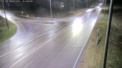
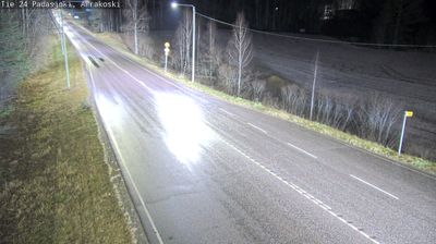
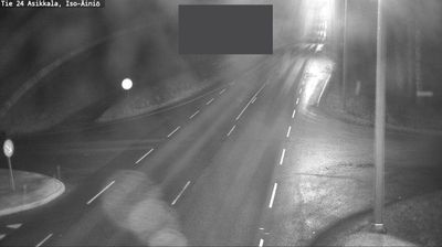



Padasjoki combines a quiet lakeside rhythm with a long tradition of rural gathering in a way that reflects its position on the western shore of Lake Päijänne. Finland’s second-largest lake shapes local life, from the shorelines and islands used for boating to the many summer cottages around its waters. The municipality lies beside the Päijänne National Park area, known for its island-dotted lake environment. Padasjoki is also associated with sahti, the traditional Finnish farmhouse ale, celebrated each year at the Sahtimarkkinat event. Continue through nearby webcams to explore different parts of Padasjoki and Lake Päijänne.
4 webcams
Lake Päijänne and the Salpausselkä ridges define much of Päijät-Häme - waterways, forests and settled shores shape daily life, outdoor recreation and the regional economy. Lahti, the regional centre, stands beside Lake Vesijärvi, while the Vääksy Canal links its waters with Lake Päijänne. The Salpausselkä ridges are prominent glacial formations that give the area its rolling relief. Lahti is closely associated with Nordic skiing and has hosted the FIS Nordic World Ski Championships several times; its ski-jumping towers remain a familiar local landmark. Beyond the city, boating, summer cottages, farmland and wooded lake shores mark the transition towards Finland’s interior. Find related webcams in the surrounding area to build a fuller picture of Päijät-Häme.
47 webcams
The terrain of Finland ranges from low coastal plains along the Gulf of Bothnia to fells in Lapland, creating a country of forests, lakes and long northern distances. More than 180,000 lakes shape everyday life, while the Lakeland region is threaded with waterways and islands. Helsinki, on the Gulf of Finland, combines neoclassical landmarks around Senate Square with contemporary Finnish design. Farther north, the Sámi are Finland’s only recognised Indigenous people, and their culture remains closely connected to the Arctic region. In winter, snow and ice transform the north; in summer, long daylight extends outdoor life well into the evening. Continue through nearby webcams to explore different parts of Finland.
1.7K webcams