 Oslo: Sandstuveien
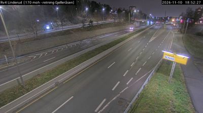
Oslo lies between the Oslofjord and the wooded Nordmarka hills in southeastern Norway, a position that has channelled major road and rail links through the capital. Sandstuveien is in the city’s southern districts, where the E6 passes residential areas and mature tree belts on its course through the urban region. This European route is Norway’s principal north–south road corridor, running from the Swedish border through Oslo and onwards towards Trondheim. The Oslofjord gives the city its maritime orientation, while surrounding forests remain a defining element of its edge. In Bjørvika, the Oslo Opera House, completed in 2008, is a landmark of contemporary Norwegian architecture.
Generated by AI
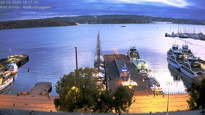





The Oslofjord defines the setting of Oslo — its long inlet from the Skagerrak brings water, islands and a working waterfront into Norway’s capital. The compact centre rises from the harbour toward wooded hills, while ferries connect the city with islands in the inner fjord. Bjørvika is a major cultural quarter, anchored by the marble-clad Oslo Opera House, opened in 2008, whose sloping roof is open to walkers. Akershus Fortress, begun in the late 13th century, recalls Oslo’s enduring role as a royal and administrative centre. Continue with other webcams from the area to see how this part of southeastern Norway connects regionally.
22 webcams
Oslo combines capital-city energy with close access to woodland in a way that reflects its position between the Oslofjord and the forested hills of Nordmarka. Norway’s capital spreads from the waterfront into districts linked by the Akerselva, a river that once powered mills and factories and now runs through parks and former industrial quarters. The harbour front has been reshaped around the Oslo Opera House, while Akershus Fortress recalls the city’s older strategic role above the fjord. Ferries, islands and bathing areas make the water part of daily urban life, and ski traditions remain visible at Holmenkollen. See how Oslo fits within the wider Oslofjord area by browsing webcams nearby.
27 webcams
Norway has served as a seafaring link between the North Atlantic and northern Europe since the Viking Age. Its long coastline is cut by fjords, while the Lofoten archipelago rises sharply from the Norwegian Sea and the mountains of Jotunheimen include Galdhøpiggen, Norway’s highest peak. Bergen’s Bryggen, the former Hanseatic wharf, recalls centuries of maritime trade. Farther north, Sámi culture remains an essential part of the country’s identity. Explore nearby webcam locations that provide complementary perspectives on Norway’s coast, fjords and mountain regions.
1.5K webcams