 Omak: US 97 at MP 292: Engh Rd (View South)
Few places in north-central Washington have a history as closely tied to ranching and regional transport as Omak. The city stands on the Okanogan River in a broad, dry valley edged by low, rolling hills, where US 97 forms the principal north–south route through town. Omak developed as a service center for the surrounding ranching and agricultural country, and it remains an important commercial hub for Okanogan County. Its best-known annual tradition is the Omak Stampede, a rodeo and community event held since 1933. The Okanogan Valley continues north toward Canada, while roadside development, open slopes and the river corridor give Omak a distinctly inland Northwest character.
Generated by AI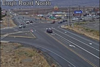
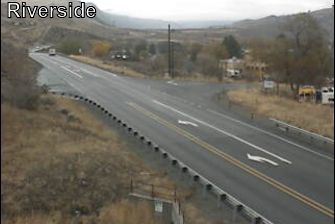

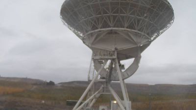


Built around a railway stop beside the Okanogan River, Omak grew into the principal commercial centre of north-central Washington’s Okanogan Valley. The city stands where Omak Creek meets the river, in dry inland country east of the Cascade Range rather than along Washington’s rainy coast. Omak is closely associated with the annual Omak Stampede, a rodeo event that includes the demanding Suicide Race down a steep riverbank and across the Okanogan. Nearby Omak Lake, on the Colville Reservation, is another defining feature of the area. Browse additional webcams nearby to better understand how Omak and the Okanogan Valley relate to their surroundings.
2 webcams
Washington’s terrain runs from Pacific coastal lowlands in the west to the dry Columbia Plateau in the east, with the Cascade Range creating a marked climatic divide. Central Washington lies on the plateau side of the Cascades, where the Columbia River has cut broad valleys and irrigation supports orchards and vineyards. The state also includes Puget Sound, the intricate marine inlet around Seattle, and the volcanic cone of Mount Rainier. Seattle’s Space Needle, built for the 1962 World’s Fair, remains one of its most recognisable landmarks. Move on to other webcams in the region to compare landscapes and settings around Washington.
1.5K webcams
The Atlantic, Pacific and Gulf coasts define much of the United States — their ports, fisheries and trade routes have long tied the country’s economy to the wider world. Between them, the Rocky Mountains, Great Plains and Mississippi River basin form sharply different regions, from high western ranges to broad agricultural heartlands. Cities carry much of the national story: New York’s Statue of Liberty, a gift from France dedicated in 1886, remains an enduring symbol, while Washington, DC concentrates major federal institutions. Indigenous nations have shaped these lands for millennia, and their living cultures remain essential to the country’s identity. Find related webcams in the surrounding areas to build a fuller picture of the United States.
32K webcams