 Olathe: K-7 N @ Harold St
Tucked into the rolling prairie south of the Kansas River, Olathe is a place whose character is shaped by open terrain and the expansion of the Kansas City metropolitan area. The county seat of Johnson County, it has grown from a 19th-century settlement into one of metropolitan Kansas City’s major suburban centres, while K-7 forms a broad north–south corridor at its western edge. Olathe was founded in 1857; its name comes from a Shawnee word meaning “beautiful.” The Mahaffie Stagecoach Stop & Farm Historic Site preserves a former stagecoach stop associated with the Santa Fe Trail era. Parks, residential districts, commercial areas and arterial roads now share the gently rolling setting.
Generated by AI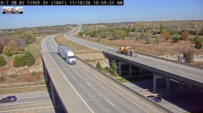

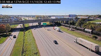


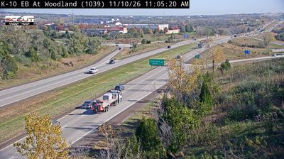
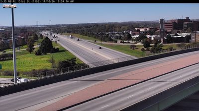


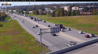

Olathe lies along the southwestern edge of the Kansas City metropolitan area, where rolling prairie terrain meets the broad suburban expanse of northeastern Kansas. The Kansas River runs north of the city, while Olathe forms part of Johnson County’s fast-growing urban belt. Founded in 1857, Olathe takes its name from a Shawnee word commonly translated as “beautiful.” The Mahaffie Stagecoach Stop & Farm Historic Site preserves an 1865 stop associated with travel on the Santa Fe Trail, recalling the settlement’s place on a major 19th-century route west. View additional webcams nearby to better understand how Olathe relates to the Kansas City region and its prairie surroundings.
11 webcams
The terrain of Kansas ranges from rolling hills in the east to High Plains grassland in the west, creating a broad, open state shaped by prairie and long river valleys. This central area lies within the agricultural heartland, where wheat fields and cattle country extend across the plains. The Arkansas River follows a wide course through central and southern Kansas, while the Flint Hills to the east preserve one of North America’s largest remaining expanses of tallgrass prairie. Kansas also holds an important place in US civil-rights history: the Brown v. Board of Education case began in Topeka. Explore other webcams from the area to see how this part of Kansas connects across the state.
387 webcams
The Atlantic, Pacific and Gulf coasts define much of the United States — their ports, fisheries and trade routes have long tied the country’s economy to the wider world. Between them, the Rocky Mountains, Great Plains and Mississippi River basin form sharply different regions, from high western ranges to broad agricultural heartlands. Cities carry much of the national story: New York’s Statue of Liberty, a gift from France dedicated in 1886, remains an enduring symbol, while Washington, DC concentrates major federal institutions. Indigenous nations have shaped these lands for millennia, and their living cultures remain essential to the country’s identity. Find related webcams in the surrounding areas to build a fuller picture of the United States.
32K webcams