 Oakland: US 77 - East
Among the communities of eastern Nebraska, Oakland stands out for its setting among the rolling cropland of Burt County. The city lies in the wider Missouri River valley, a landscape of cultivated fields, shelterbelts and shallow stream corridors that contrasts with Nebraska's open western plains. U.S. Highway 77 runs through Oakland and meets Nebraska Highway 32 just south of town, placing this small community on a practical north–south and east–west road link. Agriculture remains central to the surrounding countryside, while Oakland provides local services for rural Burt County. Its low-rise streets and wooded residential areas reflect the settled, farm-based character of the Missouri River borderlands.
Generated by AI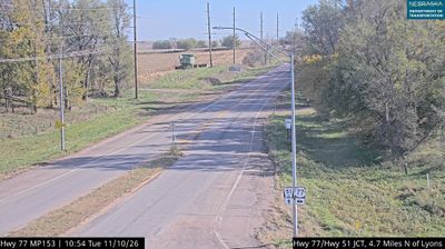
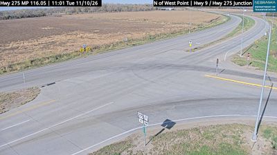


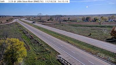
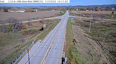
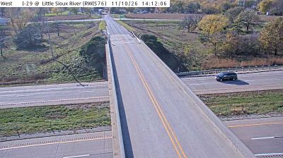
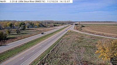
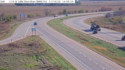
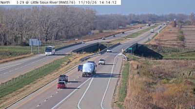

Oakland occupies a low valley along Logan Creek in eastern Nebraska’s Burt County. As the county seat, it serves a rural area shaped by agriculture and the creek’s drainage toward the Missouri River. Swedish-American heritage remains an important part of the town’s identity, represented by the Swedish Heritage Center and the local Swedish Festival. Oakland provides a window onto the small communities established across the Midwest by immigrant families, where civic life still centres on the courthouse town and its surrounding farmland. Discover other points of interest through webcams located across Burt County and eastern Nebraska.
1 webcam
Nebraska occupies a broad central stretch of the Great Plains in the United States. The Platte River crosses its southern half, its wide valley long serving as a natural east–west corridor through the prairie. In the north, the Nebraska Sandhills form one of the world’s largest areas of grass-stabilized sand dunes, while western Nebraska becomes drier and more rugged. Much of the Oregon Trail followed the Platte River corridor, linking the state to the great nineteenth-century migration west. Today, working farms, ranches, university cities and expansive open country all remain central to Nebraska’s identity. Explore other webcams in Nebraska to compare prairie, river-valley and Sandhills settings around the state.
327 webcams
The Atlantic, Pacific and Gulf coasts define much of the United States — their ports, fisheries and trade routes have long tied the country’s economy to the wider world. Between them, the Rocky Mountains, Great Plains and Mississippi River basin form sharply different regions, from high western ranges to broad agricultural heartlands. Cities carry much of the national story: New York’s Statue of Liberty, a gift from France dedicated in 1886, remains an enduring symbol, while Washington, DC concentrates major federal institutions. Indigenous nations have shaped these lands for millennia, and their living cultures remain essential to the country’s identity. Find related webcams in the surrounding areas to build a fuller picture of the United States.
32K webcams