 Nowa Deba: Plac mjr. Jana Gryczmana - Local Government Cultural Centre
Nowa Dęba lies along the northern edge of the Sandomierz Basin, where a largely level, wooded lowland extends across south-eastern Poland. Plac mjr. Jana Gryczmana forms part of the town’s civic centre, with the Local Government Cultural Centre anchoring a public space of paving, trees and small urban details. The town took shape in the late 1930s as one of the new industrial settlements of Poland’s Central Industrial Region, an interwar state programme intended to build industry beyond the country’s existing manufacturing centres. That planned origin still informs Nowa Dęba’s orderly scale: it is a compact town whose cultural facilities and everyday public life sit close to surrounding forests and the broader basin landscape.
Generated by AI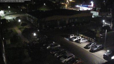
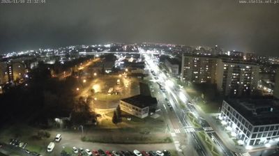
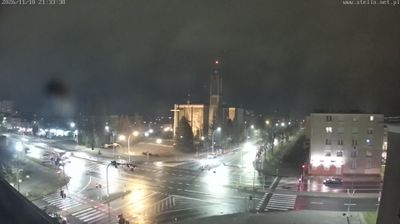
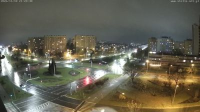


Among the towns of Poland’s Subcarpathian Voivodeship, Nowa Dęba stands out for its planned origins in the Central Industrial Region of the 1930s. Set within the broad Sandomierz Forest in south-eastern Poland, it has a distinctly woodland setting rather than the profile of an old market town. Nowa Dęba grew around an arms-and-ammunition works established in 1937, a project of the Second Polish Republic’s industrialisation programme. Manufacturing remains part of local identity through the DEZAMET plant, while the nearby Nowa Dęba military training area has long connected the town with Poland’s armed forces. Find related webcams in the surrounding Subcarpathian area to build a fuller picture of Nowa Dęba and its forested setting.
1 webcam
Built around the Carpathian foothills and the upper San River basin, Subcarpathian Voivodeship grew into Poland’s southeastern borderland region. Rzeszów, the regional capital, is its main urban centre, while the land rises southward towards the Low Beskids and Bieszczady Mountains. The San and its tributaries cut through valleys of farmland and forest, linking small towns with the higher Carpathian interior. Wooden Roman Catholic churches and Orthodox tserkvas reflect centuries of Polish and Ukrainian cultural contact, and several local tserkvas form part of a UNESCO World Heritage listing. Continue through the area to see how this part of southeastern Poland connects regionally.
93 webcams
Poland stretches from the Baltic Sea coast in the north to the Carpathian Mountains along its southern frontier, encompassing broad lowlands, lake districts and upland ranges. The Vistula, the country’s longest river, links Kraków and Warsaw before reaching the Baltic near Gdańsk, while the Masurian Lake District is defined by a dense network of lakes. Kraków’s historic centre, including Wawel Castle, recalls Poland’s former royal capital; Warsaw’s rebuilt Old Town speaks to the city’s recovery after the Second World War. The Białowieża Forest preserves one of Europe’s last primeval lowland forests and is home to European bison. Follow how Poland’s regions relate to one another by browsing webcams across the country.
709 webcams