 Niagara-on-the-Lake: QEW at Highway 405
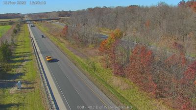
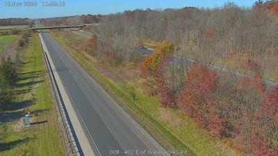
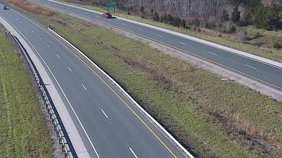
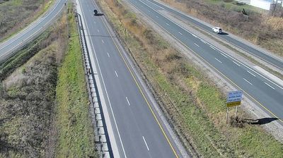
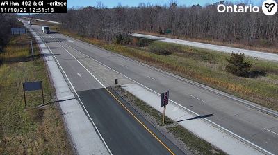
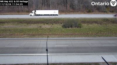
The Highway 402 corridor near Sarnia combines the engineered scale of a provincial freeway with the open farmland and woodlots of southwestern Ontario, reflecting its position on the approach to the St. Clair River border crossing. This route runs west from Highway 401 to Sarnia’s Blue Water Bridge, which links Ontario with Port Huron, Michigan, across the river. The surrounding Lambton County terrain is largely level and agricultural, while the highway forms part of a major Canadian–US freight connection. Nearby Sarnia developed as a port and industrial city on the St. Clair River; its cross-border role gives this rural interchange a wider continental context.
Generated by AI




Niagara-on-the-Lake has served as an administrative and military centre in Ontario’s Niagara region since the late 18th century. Set where the Niagara River enters Lake Ontario, it was founded as Newark in 1792 and briefly became the first capital of Upper Canada. Fort George recalls the town’s strategic role during the War of 1812, while the Shaw Festival has made it a leading Canadian venue for theatre. Vineyards spread across the surrounding Niagara Peninsula. View additional webcams nearby to better understand how Niagara-on-the-Lake relates to the Niagara River, Lake Ontario and its wider peninsula.
8 webcams
Built around the Great Lakes–St. Lawrence water system, Ontario grew into Canada’s most populous province. Its vast northern interior lies on the Canadian Shield, a terrain of exposed rock, boreal forest and innumerable lakes, while the south concentrates most cities and farms along the Great Lakes. Lake Superior, Lake Huron, Lake Erie and Lake Ontario give the province an exceptional freshwater horizon; Niagara Falls is its best-known natural landmark. Toronto, Ontario’s largest city, is a major cultural and economic centre, while Algonquin Provincial Park, founded in 1893, represents a long tradition of protected wilderness. Move on to other webcams in the region to compare landscapes and settings around Ontario.
1.6K webcams
Canada has served as a frontier between French and British colonial powers since the 17th century. The world’s second-largest country extends from Atlantic shores to the Pacific and Arctic coasts, with the Canadian Shield, the Rocky Mountains, the Great Lakes and the St. Lawrence River shaping its vast geography. First Nations, Inuit and Métis peoples are central to Canada’s identity, while Ottawa’s Parliament Hill represents its federal political life. French remains the official language of Quebec, adding a distinct dimension to the country’s public culture. See how Canada connects across North America by browsing webcams in neighbouring regions.
3.5K webcams