 Niagara Falls: Highway 69 at Highway 64, Looking North
Among the cities of Ontario, Niagara Falls stands out for its position beside the Niagara River and the waterfalls that form an international border. The Canadian side faces Horseshoe Falls, the broad curved cascade shared by Ontario and New York State, while the American Falls lies farther downstream. Highway 420 carries traffic from the Queen Elizabeth Way toward the Rainbow Bridge, one of the crossings linking Canada and the United States. Opened in 1941, the bridge is a key part of the city’s cross-border identity. Stanley Avenue belongs to the busy road network of multilane routes, businesses and visitor services surrounding the falls district. The Niagara River is also a major source of hydroelectric power, shaping the area’s economy as well as its landscape.
Generated by AI
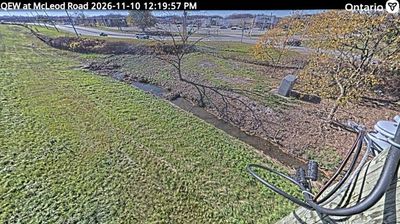

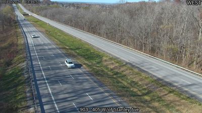

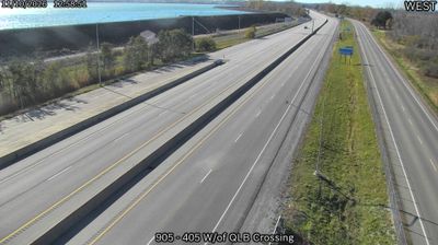
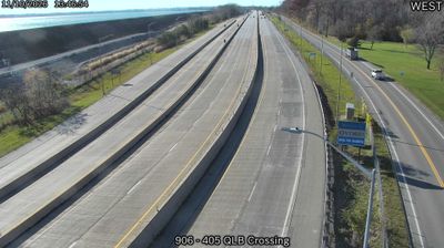


Niagara Falls has been a tourism centre in Ontario since the 19th century. The city follows the Canadian bank of the Niagara River, where water flows from Lake Erie toward Lake Ontario and drops over Horseshoe Falls on the international border with the United States. The Niagara Parks system maintains a long riverside corridor, while boats from the Canadian side travel close to the base of the cataract. The river has also supplied hydroelectric power for more than a century, helping shape the region’s development. Niagara Falls lies near Ontario’s Niagara wine country and the Niagara Escarpment. Continue with other webcams from the Niagara region to trace how this Ontario–New York borderland connects across the Great Lakes.
13 webcams
Built around the Great Lakes–St. Lawrence water system, Ontario grew into Canada’s most populous province. Its vast northern interior lies on the Canadian Shield, a terrain of exposed rock, boreal forest and innumerable lakes, while the south concentrates most cities and farms along the Great Lakes. Lake Superior, Lake Huron, Lake Erie and Lake Ontario give the province an exceptional freshwater horizon; Niagara Falls is its best-known natural landmark. Toronto, Ontario’s largest city, is a major cultural and economic centre, while Algonquin Provincial Park, founded in 1893, represents a long tradition of protected wilderness. Move on to other webcams in the region to compare landscapes and settings around Ontario.
1.6K webcams
Canada has served as a frontier between French and British colonial powers since the 17th century. The world’s second-largest country extends from Atlantic shores to the Pacific and Arctic coasts, with the Canadian Shield, the Rocky Mountains, the Great Lakes and the St. Lawrence River shaping its vast geography. First Nations, Inuit and Métis peoples are central to Canada’s identity, while Ottawa’s Parliament Hill represents its federal political life. French remains the official language of Quebec, adding a distinct dimension to the country’s public culture. See how Canada connects across North America by browsing webcams in neighbouring regions.
3.5K webcams