 Musk Ox: Goldstream
Built around road links in the Goldstream Creek valley, Musk Ox grew into a lightly settled residential area northwest of Fairbanks. Birch and spruce forest covers the low hills and flats of this part of Alaska’s Interior, while local roads connect homes with Fairbanks and the University of Alaska Fairbanks. Goldstream Creek is a tributary of the Chena River. Fairbanks began as a trading post on the Chena River in 1901 and expanded after gold was found nearby the following year. Roadside utility corridors and driveways underline a more dispersed settlement pattern than in central Fairbanks.
Generated by AI
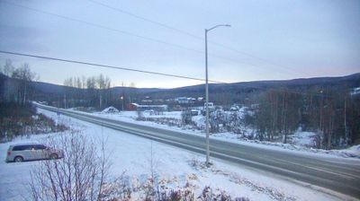


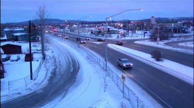
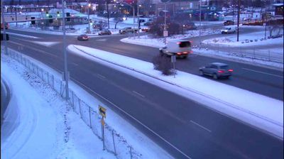
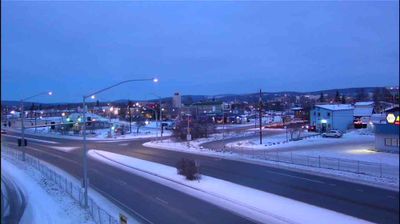
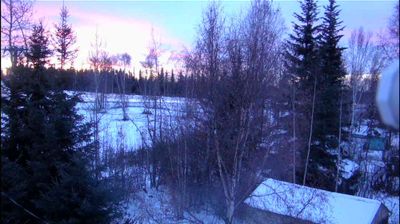

Formed around a trading post on the Chena River, Fairbanks developed into Interior Alaska’s principal urban centre. The city lies near the Chena’s confluence with the Tanana River, in a broad subarctic basin where winter conditions shape daily life and seasonal rhythms. Gold discoveries brought early growth in the first years of the 20th century; later, the Alaska Railroad made Fairbanks its northern terminus. The University of Alaska Fairbanks anchors local research and culture, while the Museum of the North presents art and collections focused on Alaska and the circumpolar world. Discover other points of interest through webcams located across Fairbanks and Interior Alaska.
5 webcams
Built around the homelands of Indigenous peoples and later linked by fur-trade and mining routes, Alaska grew into the largest state in the United States. These coordinates lie in the Interior, where the Tanana River crosses a country of broad lowlands, boreal forest and long winters. Alaska extends from the Gulf of Alaska to the Arctic Ocean and includes Denali, North America’s highest mountain. Athabascan communities remain central to the living cultural fabric of the interior. The Alaska Railroad reached Fairbanks in 1923, helping connect this remote region with the coast. Browse additional webcams from the surrounding area to extend your view of Interior Alaska.
413 webcams
The Atlantic, Pacific and Gulf coasts define much of the United States — their ports, fisheries and trade routes have long tied the country’s economy to the wider world. Between them, the Rocky Mountains, Great Plains and Mississippi River basin form sharply different regions, from high western ranges to broad agricultural heartlands. Cities carry much of the national story: New York’s Statue of Liberty, a gift from France dedicated in 1886, remains an enduring symbol, while Washington, DC concentrates major federal institutions. Indigenous nations have shaped these lands for millennia, and their living cultures remain essential to the country’s identity. Find related webcams in the surrounding areas to build a fuller picture of the United States.
32K webcams