 Municipal Unit of Acharnes: Acharnes: Mpafi - Parnitha Mountain Refuge
Mpafi – Parnitha Mountain Refuge stands on the wooded slopes of Mount Parnitha in Attica, a position that has made it a long-standing base for walks through the national park. Parnitha is Attica’s highest mountain, rising to 1,413 metres at Karavola, and its limestone ridges form a markedly wilder upland than the nearby Athens basin. Forests of Greek fir cover much of the mountain, joined by pines and oak in lower sections, while ravines cut into the slopes. Established in 1961, Parnitha National Park protects the core of this massif and is known for its network of footpaths and mountain refuges. The refuge lies in the Municipal Unit of Acharnes, on the mountain’s southeastern side, where proximity to the capital meets forest, rock and high ridges.
Generated by AI

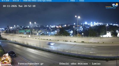
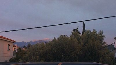
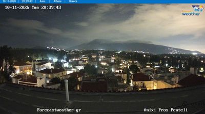
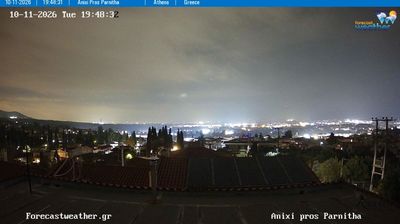
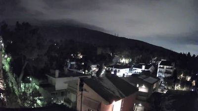
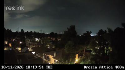
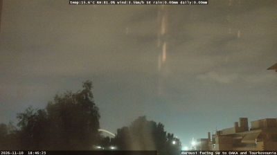
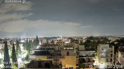

Municipal Unit of Acharnes is best known in Attica for Acharnae, one of the largest demes of ancient Athens. At the northern edge of the Athens plain, the area extends toward Mount Parnitha, Attica’s highest mountain and the setting of Parnitha National Park. Often called Menidi, Acharnes has retained a distinct identity within the wider Athens metropolitan area. The ancient inhabitants of Acharnae were associated with charcoal production, and their community gave its name to Aristophanes’ comedy The Acharnians. Dense urban streets and the nearby mountain foothills mark the transition between greater Athens and inland Attica. View additional webcams nearby to better understand how Acharnes relates to Mount Parnitha and the Athens plain.
3 webcams
Attica combines the dense energy of Athens with the maritime calm of the Saronic Gulf, reflecting its position between the gulf and the Aegean Sea. Greece’s political and cultural centre also extends to coastal headlands and islands, including Hydra in the Saronic Islands. The Acropolis of Athens, crowned by the Parthenon, is its defining ancient monument, while Piraeus connects the capital with sea routes across Greece. At Cape Sounion, the Temple of Poseidon stands above the Aegean at Attica’s southern edge. Continue through nearby webcams to explore different parts of Attica.
39 webcams
Greece occupies a mountainous peninsula and island-dotted coastline in southeastern Europe. The Aegean Sea shapes its eastern shore, while the Ionian Sea lies to the west; Crete is the country’s largest island. Athens is anchored by the Acropolis, where the Parthenon has stood since the fifth century BCE as a defining monument of classical antiquity. Beyond the capital, the Pindus Mountains run through the mainland, and Mount Olympus is associated in ancient Greek religion with the home of the gods. Greek food traditions centre on olive oil, seafood, cheeses and regional dishes, with long meals remaining an important part of social life. Continue through nearby webcams to explore the islands and mainland regions of Greece.
486 webcams