 Motueka
The landscape around Motueka is a fertile coastal plain edged by low hills and Tasman Bay, which has shaped both the built environment and local life. The Motueka River crosses this northern corner of the South Island before reaching the bay, while the town spreads across productive land long associated with orchards, market gardens and hops. Motueka developed as a nineteenth-century settlement and remains a service centre for the Tasman District’s rural communities. Its position also places it near Abel Tasman National Park, whose coast is known for sheltered coves and the Abel Tasman Coast Track. The town’s streets combine everyday regional services with the food-growing economy that has long distinguished this part of the South Island.
Generated by AI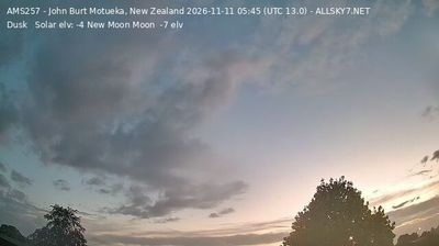
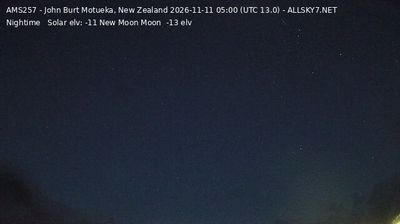


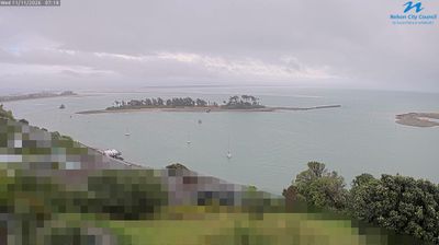
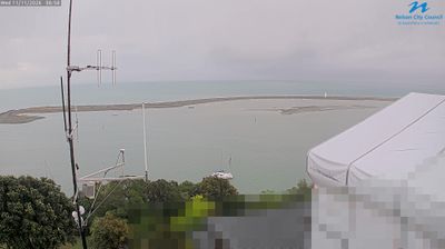


Among the settlements of Tasman, Motueka stands out for its long-established horticultural industry on the northern coast of New Zealand’s South Island. The town lies beside the Motueka River, close to its meeting with Tasman Bay / Te Tai-o-Aorere, while wooded hills rise inland. Orchards, market gardens and hop farms have shaped the local economy for generations, and seasonal produce remains central to Motueka’s character. Kaiteriteri and Abel Tasman National Park lie on the nearby coast, with beaches and walking tracks that draw visitors beyond the town. Its compact centre serves the surrounding rural district with cafés, galleries and local shops. See how Motueka fits within the Tasman coast and inland valleys by browsing webcams nearby.
6 webcams
Tasman is best known within New Zealand for Abel Tasman National Park, where the northern coast of the South Island meets Tasman Bay/Te Tai-o-Aorere. The district reaches from the sheltered bays around Motueka and Golden Bay/Mohua to the forested ranges of Kahurangi National Park, creating a marked shift from tidal shorelines to rugged inland country. Abel Tasman’s 1642 voyage gave the area its European name, while Māori names including Mohua remain central to local identity. Walking, sea kayaking and fruit growing are woven into everyday life, and the Heaphy Track links Golden Bay with the West Coast through Kahurangi. Browse other webcams across Tasman and the South Island to place this setting in a wider geographic context.
18 webcams
New Zealand combines Pacific isolation with strong ties to the wider South Pacific in a way that reflects its position between the Tasman Sea and the open Pacific Ocean. The country’s two main islands are divided by Cook Strait, while the Southern Alps run along much of the South Island and include Aoraki / Mount Cook, its highest mountain. On the North Island, volcanic terrain shapes Tongariro National Park and the central plateau; long coastlines frame cities such as Auckland and Wellington. Māori culture is central to national life, and the Treaty of Waitangi, first signed in 1840, remains a foundational document in relations between Māori and the Crown. See how New Zealand fits within the wider South Pacific by browsing webcams nearby.
490 webcams