 Morgan's Point: SH-146 @ Fred Hartman (N)
Morgan's Point lies along the western shore of Galveston Bay, where the Houston Ship Channel meets open bay water amid an industrial waterfront and coastal roads. The Fred Hartman Bridge carries State Highway 146 across the ship channel, linking the Baytown and La Porte sides of this major shipping corridor. Morgan's Point occupies a strategic edge of the Houston metropolitan area, shaped by its proximity to port traffic, refineries and the bay. Nearby, San Jacinto Battleground State Historic Site commemorates the 1836 Battle of San Jacinto, whose outcome secured Texas's independence from Mexico. This busy coastal setting is therefore closely connected with a defining chapter in Texas history.
Generated by AI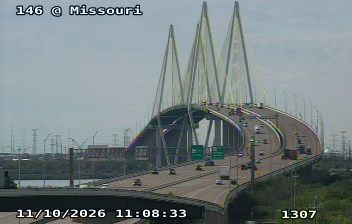
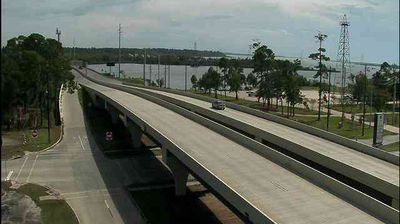
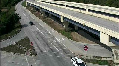


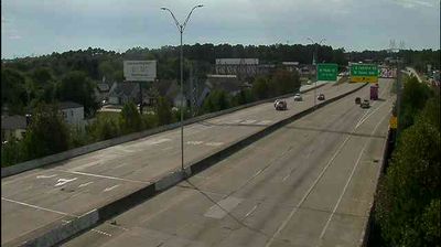

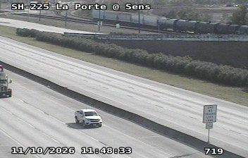
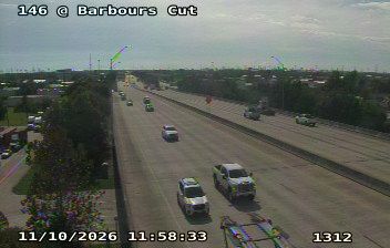

Morgan's Point sits on the western shore of Galveston Bay in Texas, where the Houston Ship Channel opens into the bay. This small municipality occupies a strategic edge of the Port of Houston’s maritime corridor, where commercial vessels connect the Houston area with the Gulf of Mexico. Its name recalls James Morgan, an early Texas empresario who founded the settlement of New Washington here in 1834. The meeting of open bay water, shipping infrastructure and low coastal shoreline gives the community a distinct place within the wider Houston–Galveston region. Explore nearby webcam locations that provide complementary perspectives on Galveston Bay and the Houston Ship Channel.
1 webcam
The terrain of Texas ranges from pine forests in the east to deserts and mountain ranges in the west, creating striking contrasts in climate, vegetation, and settlement. The state also stretches from the Gulf of Mexico coast to the High Plains, with the limestone hills of the Hill Country lying between. The Rio Grande forms much of Texas’s border with Mexico and has long shaped its geography and cross-border connections. Austin, the state capital, is a major centre for music and technology, while San Antonio’s Alamo recalls the 1836 battle central to Texas history. Ranching traditions, Mexican and Indigenous heritage, and a vast road network give the state a distinctly varied character. Browse additional webcams from the surrounding area to extend your view of Texas.
3.8K webcams
The Atlantic, Pacific and Gulf coasts define much of the United States — their ports, fisheries and trade routes have long tied the country’s economy to the wider world. Between them, the Rocky Mountains, Great Plains and Mississippi River basin form sharply different regions, from high western ranges to broad agricultural heartlands. Cities carry much of the national story: New York’s Statue of Liberty, a gift from France dedicated in 1886, remains an enduring symbol, while Washington, DC concentrates major federal institutions. Indigenous nations have shaped these lands for millennia, and their living cultures remain essential to the country’s identity. Find related webcams in the surrounding areas to build a fuller picture of the United States.
32K webcams