 Montcel
 has served as a pastoral settlement in Savoie since the Middle Ages. The locality stands in the Massif des Bauges, where conifer forest, open clearings and mountain pastures shape the plateau of Savoie Grand Revard. This upland area lies above the basin of Aix-les-Bains and Lake Bourget, with Chambéry farther south. Montcel belongs to a region long structured by grazing and forestry; its network of tracks and minor roads now also supports walking, cycling and Nordic skiing. The Massif des Bauges Regional Natural Park gives the setting a distinct identity, marked by limestone terrain, woodland and dispersed hamlets rather than dense development.
Generated by AI
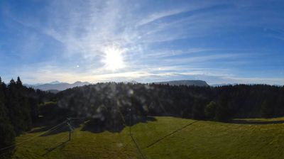
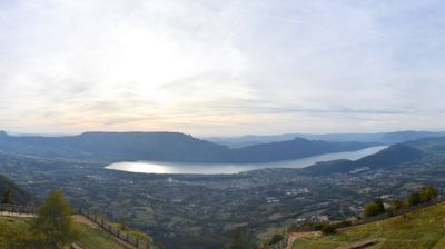
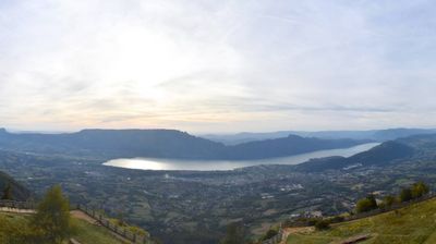
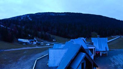
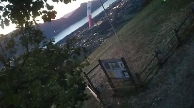
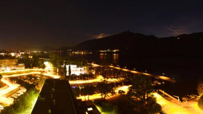

Le Montcel stretches across the western foothills of the Massif des Bauges in Auvergne-Rhône-Alpes, a position that has shaped it as a quiet rural commune between mountain country and the Lac du Bourget basin. Part of the historic Savoie region, it belongs to the Albanais, an area of scattered hamlets, farmland and wooded slopes rather than dense urban development. The nearby Bauges massif is a regional natural park, while Aix-les-Bains and France’s largest natural lake, Lac du Bourget, bring a different rhythm to the wider area. Browse additional webcams from the Bauges and Lac du Bourget area to extend your view of Savoie.
2 webcams
Auvergne-Rhône-Alpes is widely known in France for the French Alps, the major mountain chain along its eastern edge. This vast administrative region also extends west across the Massif Central and follows the Rhône valley, bringing together volcanic uplands, river corridors and major cities. Lyon, the regional capital, stands between the Rhône and Saône, and its historic centre is inscribed on UNESCO’s World Heritage List. Near these coordinates, northern Ardèche lies close to the wooded hills of the Pilat area, where the Rhône corridor forms a transition between upland country and valley settlements. Alpine cheeses and Rhône valley wines reflect the region’s varied terrain. Browse additional webcams from the surrounding area to extend your view of Auvergne-Rhône-Alpes.
764 webcams
The Atlantic and Mediterranean coastlines, together with the Alps, Pyrenees and broad river basins, define much of France — they support maritime trade, farming, wine regions and travel throughout the year. The Seine runs through Paris, where the Eiffel Tower and the Louvre are among Europe’s most recognised landmarks. The Loire Valley is known for Renaissance châteaux, while Mont-Saint-Michel rises from a tidal bay in Normandy. Regional food traditions are equally distinctive, from Breton seafood to Provençal cooking, with bread, cheese and wine central to everyday life. France’s global cultural influence is evident in its language, literature, fashion and cinema. View additional webcams nearby to better understand how France’s coasts, plains and mountain borders relate to their surroundings.
2.2K webcams