 Moncalvillo: Antenas de Moncalvillo - Centro emisor Sierra de Moncalvillo/Serradero - Alto de Moncalvillo
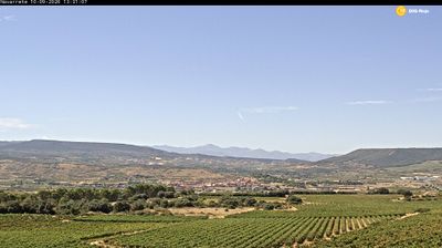
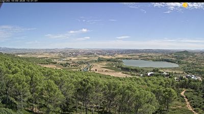
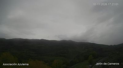
Alto de Moncalvillo lies along the ridge between the Iregua and Najerilla valleys, where the Sierra de Moncalvillo forms a forested upland above La Rioja. The summit area, known as El Serradero, combines pine-covered slopes, service roads and the transmission masts of the Sierra de Moncalvillo broadcasting centre. At 1,491 metres, Alto de Moncalvillo is one of the region’s prominent high points and has twice served as a summit finish for the Vuelta a España, in 2020 and 2023. Its setting marks the transition from Rioja’s cultivated valleys to the higher terrain of the Iberian System. This is a mountain landscape shaped by forestry, roads and communications infrastructure rather than an urban settlement.
Generated by AI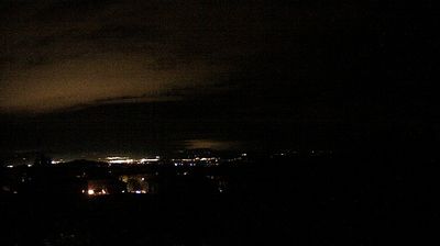
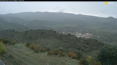
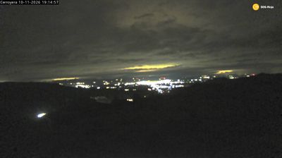
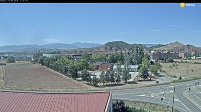

Moncalvillo is best known within Castile and León for its setting in the Sierra de la Demanda, a mountainous area of Burgos province. This small municipality lies in the upper Arlanza country, where wooded slopes and open upland fields define a sparsely populated stretch of inland northern Spain. Its compact settlement reflects the enduring rural character of historic Castile, far from the region’s larger urban centres. The surrounding mountains and forest tracks make the area a fitting stop for travellers exploring Burgos province beyond its famous cathedral city. Browse additional webcams from the surrounding area to extend your view of the Sierra de la Demanda.
1 webcam
The Duero River and the high Castilian plateau define much of Castile and León – their wide plains have long supported cereal farming, vineyards and historic market towns. Spain’s largest autonomous community extends from the Cantabrian Mountains toward Portugal, with nine provinces linked by long roads, rail lines and regional capitals. Salamanca’s university, founded in 1218, ranks among Europe’s oldest, while Burgos Cathedral and Segovia’s Roman aqueduct point to the area’s medieval and Roman past. The Camino de Santiago also crosses its northern provinces, bringing a continuing pilgrimage tradition to towns along the route. Browse other webcams across Castile and León to place this setting in a wider geographic context.
45 webcams
Spain extends from the Cantabrian coast to the Canary Islands, encompassing Atlantic shores, Mediterranean beaches and the broad interior Meseta. The Pyrenees form its northeastern frontier, while the Guadalquivir crosses Andalusia on its way to the Atlantic. Madrid anchors the country’s political and cultural life, but distinct regional identities are central to Spain’s character: Catalonia, the Basque Country, Galicia and Andalusia each have their own languages or strong local traditions. Granada’s Alhambra is a major monument of the medieval Nasrid dynasty, and Santiago de Compostela remains the destination of the Camino de Santiago. Browse related webcams around the Iberian Peninsula to build a fuller picture of Spain.
1.3K webcams