 Moline: SR-795 at East Broadway St, 5064
Moline is best known in northwest Ohio for its setting along State Route 795, an east–west highway corridor south of Toledo. The community occupies level agricultural country in the Maumee River basin, where open fields, drainage ditches and tree belts mark the transition between rural Wood County and the Toledo area. At East Broadway Street, the multilane road network underscores the practical role of this locality: it carries local traffic between farms, homes and nearby employment centers while linking longer-distance routes across the region. Moline’s identity is tied to the working landscape and transport connections of northwestern Ohio.
Generated by AI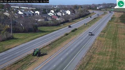
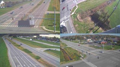

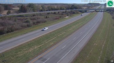

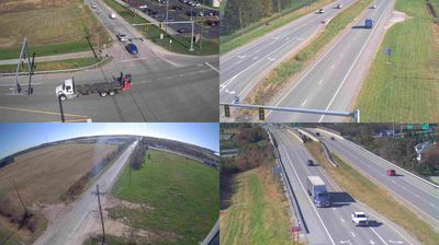

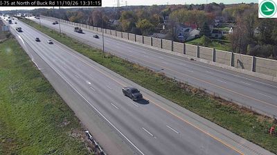
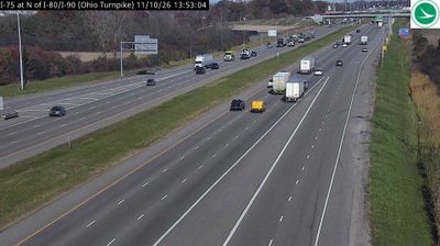


Moline straddles the flat Maumee River basin in northwestern Ohio, where fertile ground and extensive drainage transformed the former Great Black Swamp into productive farmland. This small community in Wood County lies southeast of Toledo, in a region shaped by rural settlement, agricultural trade and transport links to the Great Lakes area. The Maumee River flows north toward Lake Erie, connecting the surrounding interior to one of North America’s major freshwater systems. Discover other points of interest through webcams located across northwestern Ohio.
3 webcams
Built around the Ohio River corridor and Lake Erie trade routes, Ohio grew into a major state of the American Midwest. Its terrain extends from the Appalachian foothills in the southeast across fertile central plains to Lake Erie’s northern shore, while the Cuyahoga River passes through Cleveland before entering the lake. Columbus, the state capital, stands near the centre of the state. Cincinnati developed along the Ohio River, and Cleveland’s Rock and Roll Hall of Fame marks the city’s place in American music. Dayton is closely linked with the Wright brothers and the early history of powered flight. Browse additional webcams from the surrounding area to extend your view of Ohio.
1.1K webcams
The Atlantic, Pacific and Gulf coasts define much of the United States — their ports, fisheries and trade routes have long tied the country’s economy to the wider world. Between them, the Rocky Mountains, Great Plains and Mississippi River basin form sharply different regions, from high western ranges to broad agricultural heartlands. Cities carry much of the national story: New York’s Statue of Liberty, a gift from France dedicated in 1886, remains an enduring symbol, while Washington, DC concentrates major federal institutions. Indigenous nations have shaped these lands for millennia, and their living cultures remain essential to the country’s identity. Find related webcams in the surrounding areas to build a fuller picture of the United States.
32K webcams