 Moline: R25: South View
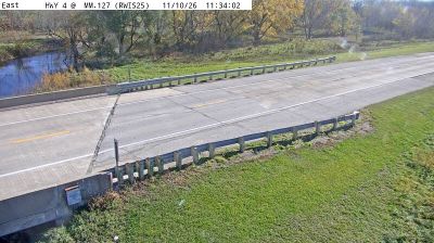
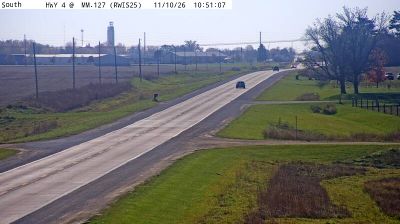
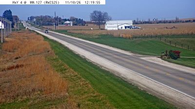
The landscape around Jefferson is a gently rolling agricultural plain in the North Raccoon River basin, which has shaped both the built environment and local life. The surrounding countryside forms part of Greene County, where corn and soybean fields, drainage ditches, shelterbelts and long straight roads reflect a landscape organized around farming. Iowa Highway 4 runs north–south through this area, linking Jefferson with smaller rural communities and farmland. Jefferson is the county seat of Greene County and provides civic, retail and service functions for the wider area. Its downtown includes the Greene County Courthouse, while the Mahanay Memorial Carillon is a local landmark. This is central Iowa as a working rural region, with broad fields, roadside vegetation and sparse settlement rather than dense urban development.
Generated by AI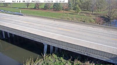


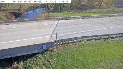
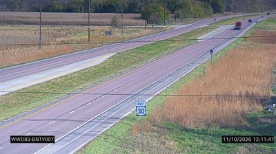
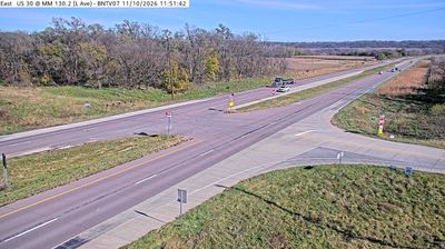


The landscape around Moline is defined by the broad Mississippi River and a low-lying industrial waterfront, which have shaped both the city’s layout and local economy. Set on Illinois’s side of the Quad Cities, Moline grew into a manufacturing centre closely associated with John Deere, who moved his plow business here in 1848. The John Deere Pavilion keeps that agricultural-machinery legacy in public view downtown. Nearby Arsenal Island is home to the Rock Island Arsenal, a long-standing U.S. Army installation. The riverfront also links Moline to the wider bi-state urban area, where Illinois and Iowa communities share bridges, trails and cultural venues. Explore nearby webcams to discover more of Moline and the Quad Cities.
2 webcams
Illinois has served as a frontier within the United States since the early nineteenth century. Its broad central plains, including the area around Springfield, contrast with the urban scale of Chicago on Lake Michigan. The Mississippi River forms much of the western state boundary, while the Illinois River crosses the interior toward the Mississippi. Springfield is closely associated with Abraham Lincoln, who lived and worked there before becoming president; his home and presidential library are major civic landmarks. Farming remains central to the state’s identity, alongside manufacturing, transport, and the cultural influence of Chicago. Browse additional webcams from the surrounding area to extend your view of Illinois.
53 webcams
The Atlantic, Pacific and Gulf coasts define much of the United States — their ports, fisheries and trade routes have long tied the country’s economy to the wider world. Between them, the Rocky Mountains, Great Plains and Mississippi River basin form sharply different regions, from high western ranges to broad agricultural heartlands. Cities carry much of the national story: New York’s Statue of Liberty, a gift from France dedicated in 1886, remains an enduring symbol, while Washington, DC concentrates major federal institutions. Indigenous nations have shaped these lands for millennia, and their living cultures remain essential to the country’s identity. Find related webcams in the surrounding areas to build a fuller picture of the United States.
32K webcams