 Moliets-et-Maa: Nord
The Atlantic Ocean defines the setting of Moliets-et-Maa — its coast is shaped by a long sandy shore, pale dunes and the pine woods of the Landes. This commune in Nouvelle-Aquitaine lies on the Côte d’Argent, the extensive Atlantic strand running along southwestern France. Inland, dunes give way to the Forêt des Landes, one of Europe’s largest planted forests, where maritime pine has long shaped the regional landscape and economy. The Golf de Moliets, designed by American architect Robert Trent Jones Sr., threads its fairways through this dune-and-forest terrain near the shore. Moliets-et-Maa remains a low-rise coastal settlement whose character comes from the meeting of ocean, sand and woodland.
Generated by AI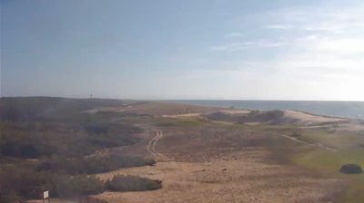
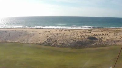
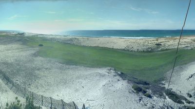
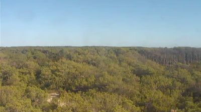
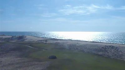
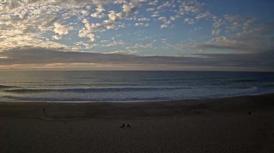
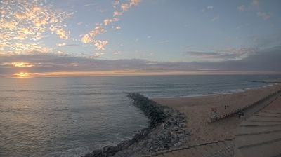
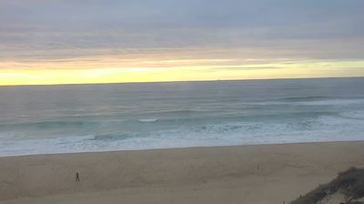


Few communities in Nouvelle-Aquitaine have a history as closely tied to the Atlantic coast as Moliets-et-Maa. On France’s Landes shore, the commune combines a long sandy beach, coastal dunes and the maritime-pine forest of the Landes de Gascogne. At its northern edge, the Courant d’Huchet reaches the Atlantic after leaving Étang de Léon; its lower course forms part of the Courant d’Huchet National Nature Reserve. The Église Saint-Étienne is among the heritage landmarks in the older settlement area, set inland from the oceanfront. Browse webcams nearby to see how Moliets-et-Maa belongs to the wider Landes coast.
6 webcams
The Atlantic coastline and the Garonne–Dordogne river basin define much of Nouvelle-Aquitaine, supporting vineyards, agriculture and enduring maritime trade. France’s largest region brings together the surf beaches and pine forests of the Landes, the wine country around Bordeaux, and the limestone valleys of the Dordogne. The Charente passes through Angoulême, near this location; the city is internationally associated with its annual comics festival. Bordeaux also preserves the UNESCO-listed historic centre known as the Port of the Moon, recalling its role in Atlantic commerce. Cognac production in the Charente adds another internationally recognised local tradition. Browse related webcams around Nouvelle-Aquitaine to form a broader impression of this varied region.
129 webcams
The Atlantic and Mediterranean coastlines, together with the Alps, Pyrenees and broad river basins, define much of France — they support maritime trade, farming, wine regions and travel throughout the year. The Seine runs through Paris, where the Eiffel Tower and the Louvre are among Europe’s most recognised landmarks. The Loire Valley is known for Renaissance châteaux, while Mont-Saint-Michel rises from a tidal bay in Normandy. Regional food traditions are equally distinctive, from Breton seafood to Provençal cooking, with bread, cheese and wine central to everyday life. France’s global cultural influence is evident in its language, literature, fashion and cinema. View additional webcams nearby to better understand how France’s coasts, plains and mountain borders relate to their surroundings.
2K webcams