 Milton: BRIDGE I-89 South
Milton combines a rural Champlain Valley setting with the transport role of an Interstate 89 community in a way that reflects its geographical position between Burlington and Vermont’s northern border. East of Lake Champlain, the town occupies lowland shaped by wooded stream corridors, farmland and residential neighbourhoods, while I-89 provides a major long-distance road connection. Milton was chartered in 1763, a colonial-era origin reflected in the identity of its village centre. The municipality forms part of Chittenden County, though its development is more dispersed than in nearby Burlington. Lake Champlain, one of North America’s major inland lakes, gives the wider valley its broad geographic frame.
Generated by AI
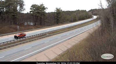
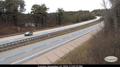
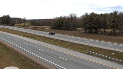
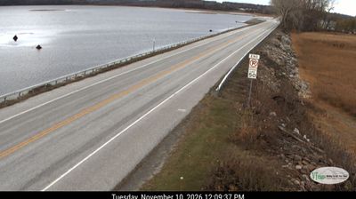

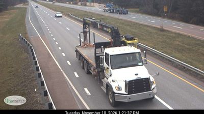


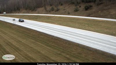

Set between Lake Champlain and Vermont’s Green Mountains, Milton is a community whose character is shaped by the broad agricultural terrain of the Champlain Valley. The Lamoille River meets Lake Champlain at Milton’s western edge, connecting the town to a shoreline of wetlands, coves and open water. Milton lies in Chittenden County, north of Burlington, yet working farmland, woodlots and residential neighborhoods still share the lowland plain. Chartered in 1763 by New Hampshire governor Benning Wentworth, the town reflects the early settlement history of northwestern Vermont. Browse other webcams across Vermont’s Champlain Valley to place Milton in a wider geographic context.
7 webcams
Vermont is best known in the United States for the Green Mountains, the north–south range that gives the state its defining wooded backbone. These coordinates lie in north-central Vermont, where rolling uplands and narrow valleys lead toward the Lamoille River. Mount Mansfield, rising to 4,393 feet (1,339 metres), is the state’s highest peak and stands farther west in the same mountain region. Lake Champlain forms much of Vermont’s western edge, while the Connecticut River traces its border with New Hampshire. Maple sugaring is a defining seasonal tradition, and Vermont is the nation’s leading maple-syrup producer. Explore nearby places to better understand how north-central Vermont relates to the Green Mountains, river valleys and Lake Champlain.
196 webcams
The Atlantic, Pacific and Gulf coasts define much of the United States — their ports, fisheries and trade routes have long tied the country’s economy to the wider world. Between them, the Rocky Mountains, Great Plains and Mississippi River basin form sharply different regions, from high western ranges to broad agricultural heartlands. Cities carry much of the national story: New York’s Statue of Liberty, a gift from France dedicated in 1886, remains an enduring symbol, while Washington, DC concentrates major federal institutions. Indigenous nations have shaped these lands for millennia, and their living cultures remain essential to the country’s identity. Find related webcams in the surrounding areas to build a fuller picture of the United States.
32K webcams